What is recorded here
Currysheskin emerged during the POST-MED C17TH period as a settlement where ordinary life continued alongside forgotten dangers. The name itself resists tidy explanation, suggesting a place shaped by local memory rather than distant record. People likely lived there with confidence, using the land for work, shelter and ceremony while leaving behind little more than a point on a map. What is missing is not emptiness; it is the part of human life that never needed to be written down.
The official Northern Ireland record identifies this as SETTLEMENT. Recorded period: POST-MED; C17TH. The official map point was placed at the centre of the recorded archaeological site from the source map reference.
The monument record does not grant public access. Check the route and ask the landowner before entering private land.
- What survives
- Recorded monument
Places near here
 Dunseverick FallsWaterfall · 423 yd
 DunsevrickCliff · 690 yd
 Dunseverick CastleCastle · 902 yd
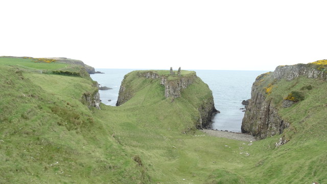 DUNSEVERICK CASTLE in Feigh Alias DunseverickDUNSEVERICK CASTLE · 906 yd
 ENCLOSURE in Feigh Alias DunseverickENCLOSURE · 1236 yd
 ROCK OUTCROP & POSSIBLE ENCLOSURE in BallynastraidROCK OUTCROP & POSSIBLE ENCLOSURE · 1272 yd
 White Park BayVisitor information · 1.3 mi
 Dunseverick Parish ChurchChurch · 1.3 mi
 MILITARY ENTRENCHMENTS: THE CASTLES in LisserlussMILITARY ENTRENCHMENTS: THE CASTLES · 2.2 mi
 Red Trail, Giant's CausewayWalking route · 2.9 mi
 Giant's GateHeritage attraction · 2.9 mi
 Blue Trail, Giant's CausewayWalking route · 3.0 mi