What is recorded here
Aerial photographs (GB91.DC.03, 12 and 13) show an extensive sequence of earthworks delineating a deserted settlement, probably of medieval date, comprising:
a) three hollow-ways;
(i) a hollow-way extending north-west to south-east and centred at 291211, 294036
(ii) a complex system of hollow-ways in the middle of the earthwork complex and centred at 291282, 294084; a broad central hollow-way bifurcates at both ends to form four separate hollow-ways.
(iii) a hollow-way extending along the southern edge of the earthwork sequence and centred at 291280, 294000
b) a series of rectilinear plots extending in a north-easterly direction from the southern hollow-way, probably representing the individual crofts of the medieval village; and
c) an earthen bank extending west to east, providing the southern limit of the settlement, centred at 291348, 294019
The earthworks are located between St. Medoc's church (LH013 -028001 in Churchtown townland), and the motte and bailey castle at Stormanstown (LH013 -024001), both of which would have formed part of the contemporary medieval landscape.
Compiled by: Dr Gillian Barrett for the Archaeological Survey of Ireland.
Date of upload: 23 December 2010
The monument record does not grant public access. Check the route and ask the landowner before entering private land.
- What survives
- Recorded monument
Places near here
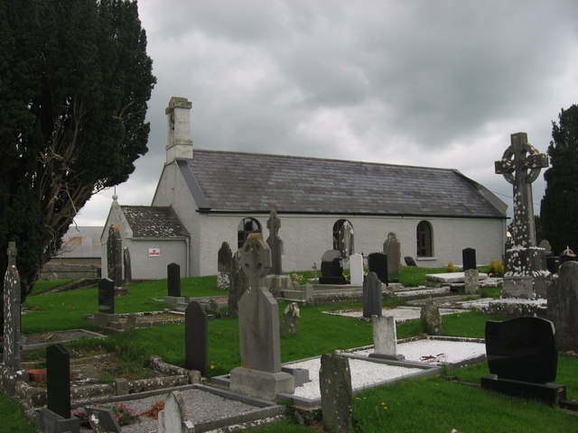 St. Medocs ChurchChurch · 190 yd
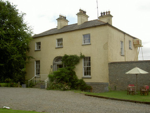 Churchtown Houserectory/glebe/vicarage/curate's house · 195 yd
 Enclosure in RogerstownEnclosure · 830 yd
 Enclosure in CardistownEnclosure · 963 yd
 Site of Cookstown CastleCastle, unclassified · 1.2 mi
 Matthew's HillMountain / peak · 1.6 mi
 The MountCastle, motte and bailey · 2.2 mi
 Yellow HillMountain / peak · 2.3 mi
 Flat cemetery in AnnaheanFlat cemetery · 3.0 mi
 Long PlantationForest · 3.1 mi
 English hollyEnglish holly · 3.2 mi
 Sir Frederick Foster MemorialMemorial · 3.5 mi