
What is recorded here
Situated in a slight fold on a gently undulating landscape. The faint cropmark of a circular enclosure (diam. c. 35m) defined by a single fosse feature (Wth c. 3m) SW-N-SE is visible on Google Earth (29/06/2018). It was first reported by Anthony Murphy.
See the attached enhanced view from Google Eartth
Compiled by: Michael Moore
Date of upload: 11 November 2019
The monument record does not grant public access. Check the route and ask the landowner before entering private land.
- What survives
- Recorded monument
Places near here
 Enclosure in RogerstownEnclosure · 346 yd
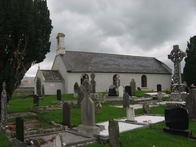 St. Medocs ChurchChurch · 733 yd
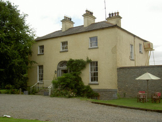 Churchtown Houserectory/glebe/vicarage/curate's house · 865 yd
 IndicatedFairy fort / earthen ringfort · 1133 yd
 Matthew's HillMountain / peak · 1.2 mi
 Site of Cookstown CastleCastle, unclassified · 1.7 mi
 CastleCastle, motte · 1.8 mi
 Yellow HillMountain / peak · 2.0 mi
 Flat cemetery in AnnaheanFlat cemetery · 3.0 mi
 English hollyEnglish holly · 3.5 mi
 European BeechEuropean Beech · 3.5 mi
 Sir Frederick Foster MemorialMemorial · 3.7 mi
Other information
Photo: Credit not shown in the picture search · Rights wording not checked; contact us if this picture should be removed