What is recorded here
A cluster of cottages are shown in this general area on the 17th century Down Survey map of Mullingar parish (NLI, MS 723-4). No earthworks or cabins depicted in this area on the 1837 ed. OS 6-inch map or the revised 1913 ed. OS 25-inch map. Site of possible deserted settlement described in 1983 as no surface remains visible at area marked on the RMP map for Co. Westmeath. A complex series of linear earthworks visible on Digital Globe aerial photography 425m to the NNE of the area marked on the RMP map may be the remains of this clustered settlement depicted on the Down Survey map of Mullingar parish.
Compiled by: Alison McQueen, Vera Rahilly and Caimin O’Brien
Date of upload: 11 February 2019
The monument record does not grant public access. Check the route and ask the landowner before entering private land.
- What survives
- Recorded monument
Places near here
 Partially hachuredFairy fort / earthen ringfort · 697 yd
 church/chapelchurch/chapel · 1110 yd
 Enclosure in Walshestown SouthEnclosure · 1361 yd
 Hopestown Church (in Ruins)Church · 1640 yd
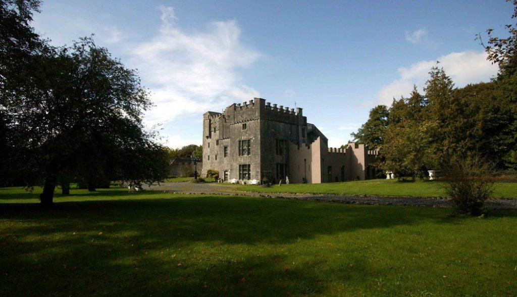 Castle (in Ruins)Castle, tower house · 1.1 mi
 Bawn in Tuitestown (moyashel & Magheradernon By.)Bawn · 1.8 mi
 Srudarra IslandIslet · 2.4 mi
 Carrickphilbin IslandIslet · 2.5 mi
 Ancient Ring FortWood · 4.9 mi
 Baronstown ForestWood · 6.3 mi
 Abbeyshrule AbbeyRuins · 11 mi
 Derrygreenagh HillMountain / peak · 12 mi