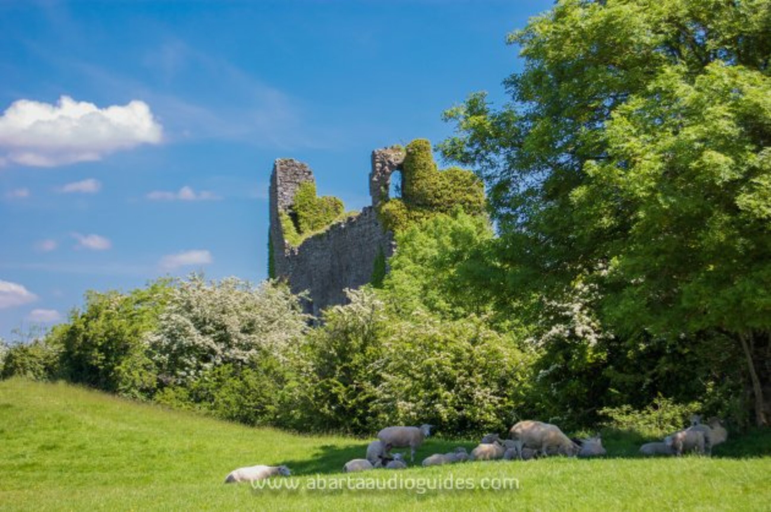
What is recorded here
This is a low lying area, at the goot of the Dublin mountains which has been landscaped. The medieval borough of Shankill was probably founded in the early 13th century (Bradley & King 1988, 298-305). It appears to have been one of the archbishop of Dublin's principal residences in the south of the county. A permit of 1229 to clear woodland on the manor indicates that much of it was wooded (Mc Neill 1950, 62). An extent of 1326 mentions 17 burgages and demesnes under arable cultivation. This settlement was probably located between the tower house (DU026-052001-) and the church (DU026-052002-).
Compiled by: Geraldine Stout and Padraig Clancy.
Revised upload on: 19 April 2018.
The monument record does not grant public access. Check the route and ask the landowner before entering private land.
- What survives
- Recorded monument
Places near here
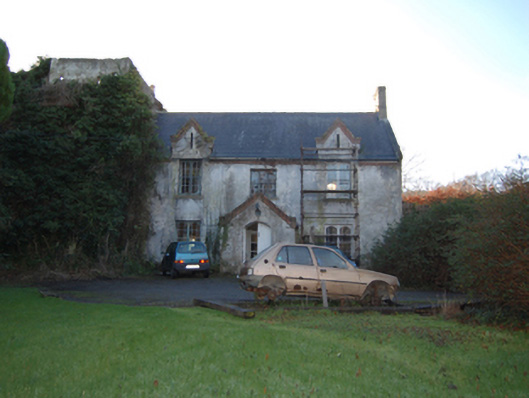 Shankill Castlefarm house · 122 yd
 Cross (present location) in ShankillCross (present location) · 238 yd
 Lordellogate lodge · 285 yd
 Rathmichael WalkWalking route · 695 yd
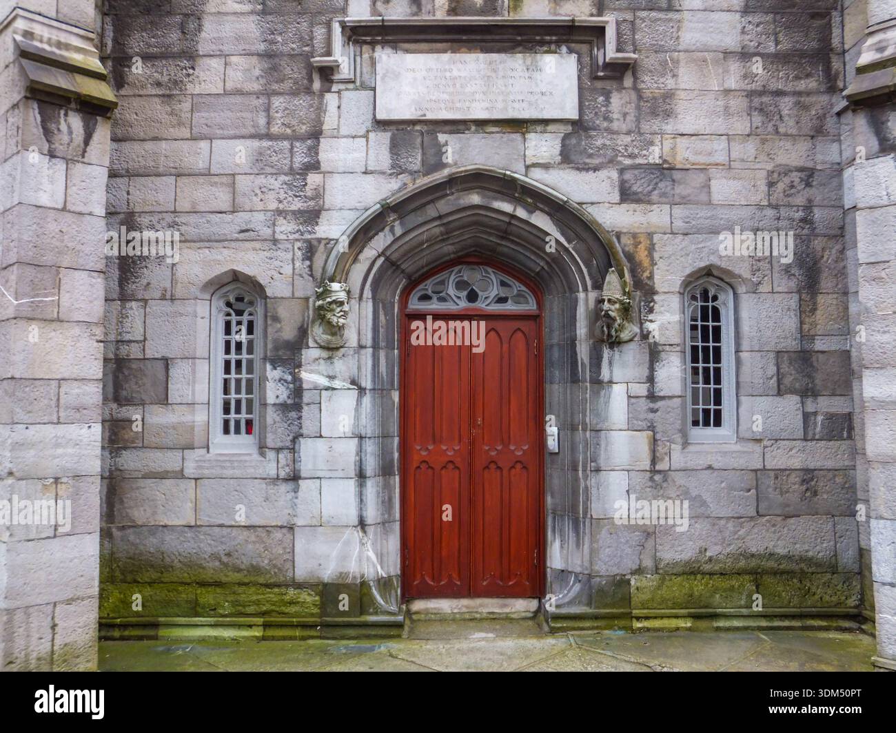 Ecclesiastical enclosure in RathmichaelEcclesiastical enclosure · 705 yd
 Bawn in RathmichaelBawn · 1097 yd
 Puck's CastleCastle · 1122 yd
 Dublin Mountains Way Trailhead SignVisitor information · 1174 yd
 St. James GateVisitor information · 1569 yd
 Carrickgollogan HillMountain / peak · 1.1 mi
 Monterey CypressMonterey Cypress · 1.2 mi
 Loughlinstown WoodsNature reserve · 1.2 mi
Other information
Photo: Credit not shown in the picture search · Rights wording not checked; contact us if this picture should be removed