What is recorded here
Medieval Lea collapsed into the flat fields of County Laois after repeated invasion and abandonment, leaving only faint earthworks beside its castle. The loss is easy to imagine because the ground itself resists clarity: water, fire and time kept erasing the town's edges. What remains is a vanished place still named in memory, its streets reduced to rumour beneath the grass.
Unlocated settlement described in a sixteenth century document as the 'towne and lands of Dirry al' Rainaspoke al' Rahinaspickure', this townland has not been identified (O'Flanagan 1933, vol. 1, p. 97). Duplicate site with LA014-083. May be located in the townland of Raheenaniska.
Compiled by: Caimin O'Brien
Date of upload: 17 December 2007
The monument record does not grant public access. Check the route and ask the landowner before entering private land.
- What survives
- Recorded monument
Places near here
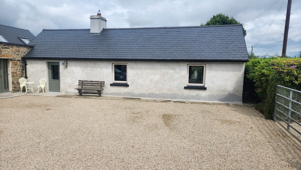 Enclosure in RaheenaniskaEnclosure · 610 yd
 Enclosure in RathcreaEnclosure · 885 yd
 Church in Kylebeg (clanmallagh By.)Church · 1478 yd
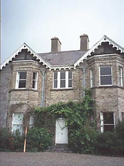 Grattan Lodgehouse · 1605 yd
 Site of Ballymanus CastleCastle, unclassified · 1.4 mi
 OutlinedCastle, unclassified · 2.1 mi
 Black WalnutBlack Walnut · 2.2 mi
 Ballyduff WoodWood · 3.0 mi
 CEMETERYGraveyard · 3.1 mi
 Beech Way WalkWalking route · 3.2 mi
 Oughaval Wood MapVisitor information · 3.3 mi
 Mass RockNamed rock · 3.4 mi