
What is recorded here
Unlocated church within townland of Kylebeg, described by Comerford as 'in the townland of Kyle there was formerly a chapel, the site of which is now marked by a heap of stones (Comerford 1886, vol. 3, 274).
Compiled by: Caimin O'Brien
Date of upload: 17 December 2007
The monument record does not grant public access. Check the route and ask the landowner before entering private land.
- What survives
- Recorded monument
Places near here
 Enclosure in BallyriderEnclosure · 656 yd
 Enclosure in GarransEnclosure · 1291 yd
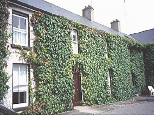 Inch Househouse · 1.0 mi
 Pedunculate OakPedunculate Oak · 1.5 mi
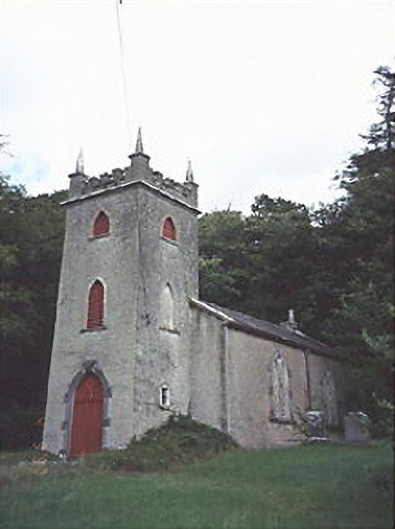 Saint Peter's Church (Curraclone)church/chapel · 1.5 mi
 Black WalnutBlack Walnut · 1.5 mi
 Site of Ballymanus CastleCastle, unclassified · 1.6 mi
 Bawn in StradballyBawn · 2.0 mi
 CEMETERYGraveyard · 2.3 mi
 Beech Way WalkWalking route · 2.4 mi
 Oughaval Wood MapVisitor information · 2.5 mi
 Mass RockNamed rock · 2.6 mi
Other information
Photo: Credit not shown in the picture search · Rights wording not checked; contact us if this picture should be removed