
What is recorded here
No visible surface remains of earthworks to W of motte, a silage pit and a quarry are now located in the vicinity of these earthworks. The earthworks were described by Carrigan as 'the 'Moat of Middlemount' (LA028-050001-), properly called the "Moat of Laragh" (LA028-050001-), while the ridge to the W is intersected…
Read the whole record
From the National Monuments Service (Archaeological Survey of Ireland) record LA028-050002
Places near here
Photo credits
- Maker not stated on source page, www.pinterest.com
- Maker not stated on source page, www.flickr.com
- Maker not stated on source page, www.dreamstime.com
- Mike Searle, Geograph · CC BY-SA 2.0
- Maker not stated on source page, commons.wikimedia.org
- Maker not stated on source page, it.pinterest.com
- National Inventory of Architectural Heritage
- Golfing in Ireland; photographer not stated, Source publisher
- DAR Golf project gallery; individual photographer not stated, dargolf.com
 Holy well in KilbreedyHoly well · 799 yd
Explorer Tom Holy well in Kilbreedy was called the Castle Well because two lads bet on who could find it first. It’s gone now, but…
 Fairy fort / earthen ringfort in BaunogeFairy fort / earthen ringfort · 957 yd
Explorer Tom Fairy fort / earthen ringfort in Baunoge is basically just a very old, very lazy circle that refuses to do anything…
 Kilbreedy Castle (in Ruins)Castle, tower house · 1078 yd
Explorer Tom Kilbreedy Castle has a local who swears he invented it himself, which is rich given the history. It’s a solid tower…
 Kilbreedy CastleCastle · 1078 yd
Explorer Tom Kilbreedy Castle is stuck in a bitter feud with the hill next door over who actually owns the best view of the sunset…
 Graveyard in KilcoranGraveyard · 1577 yd
Explorer Tom Graveyard in Kilcoran claims a celebrity friend who was just a guy with nice bones. They were found in 1889 and he’s…
 Fairy fort / earthen ringfort in CoolkerryFairy fort / earthen ringfort · 1676 yd
Explorer Tom Coolkerry’s fairy fort reviews its visitors harshly if they don’t tip in potatoes. It has a proper entrance at the…
 Enclosure in BallycoolidEnclosure · 1701 yd
Explorer Tom Enclosure in Ballycoolid hates the road leading to it because it’s always getting lost anyway. It’s basically a ghost…
 Graveyard in Park (stradbally By.)Graveyard · 1753 yd
Explorer Tom Graveyard in Park rates its visitors two stars because they step on the grass and ask for selfies. It’s a ten-acre…
 Bridge in Knockfin,baunogeBridge · 1.0 mi
Explorer Tom Bridge in Knockfin has very strong opinions on modern buildings, mostly that they’re all too flimsy and lack character.…
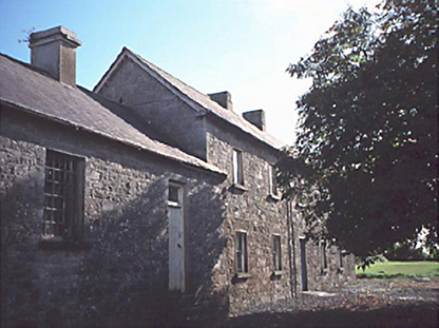 Rathdowney CourthouseCourt house · 1.7 mi
Explorer Tom Rathdowney Courthouse has been fighting the rain since 1830 and still hasn't won a single round of that bitter feud.…
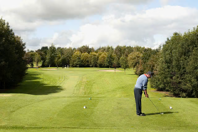 Rathdowney Golf ClubGolf course · 1.8 mi
 Kelly Daly Park, RathdowneyGAA ground · 2.1 mi
More archaeology and monuments in County Laois · All of County Laois

What do you know about this place?Tap to add a comment or ask a question