What is recorded here
Kill began as a hidden monastic foundation in County Kildare, losing its visible identity before strongmen, abbots and borough officials kept reinventing it. John de Hereford may have raised a motte there, Thomas de Hereford gave its church to Dublin, and later residents crowded a narrow street beside the small Kill River. The place did not disappear so much as stop being remembered, leaving behind a deserted name and a few buried marks.
According to Bradley et al. (1986 vol. 3, 292-303), Kill is likely to have originated in an early monastic foundation (KD019-008002-) of which no visible surface trace survived. However, in 1993, archaeological test-trenching uncovered portion of a probable ecclesiastical enclosure (KD019-008007-). Kill subsequently formed part of 'the cantred of Offelan nearest to Dublin' which was granted by Strongbow to Adam de Hereford in the sub-infeudation of Leinster in the early 13th century, around which time, or possibly slightly earlier, a motte (KD019-008004-) was erected, possibly by John de Hereford. Charters record that between 1215 and 1223, Thomas de Hereford granted the church of Kill (KD018-008006-) to St Thomas' Abbey, Dublin, and mention is made of his 'vill of Kill'. [An earlier charter of 1206-1223 records that St Thomas' Abbey already held possessions at Kill, including a grange with a croft, garden and haggard, however, Conroy (2007, 187-93), suggests that the grange may have been at Hartwell Castle (KD019-015----), c. 1 mile to the S.] The precise location and extent of the original borough is uncertain, and the first specific reference to a borough here is not until 1608, in a list of boroughs and towns in Kildare, when Richard Dowlin is named as provost of the town of Kill. In 1629, upon his death, Thomas Hamlin held a castle (KD019-006003-), six messuages and 120 acres in the vill of Kill from the Earl of Kildare. A 1659 census recorded a population of 92 at Kill, and the present main street probably preserves a 17th century street pattern. On low-lying ground, drained by the small, N-flowing, Kill River.
Compiled by: Gearóid Conroy
Date of upload: 10 June 2011
The monument record does not grant public access. Check the route and ask the landowner before entering private land.
- What survives
- Recorded monument
Places near here
 Ecclesiastical site in Kill WestEcclesiastical site · 70 yd
 Saint John's Church (Kill)church/chapel · 73 yd
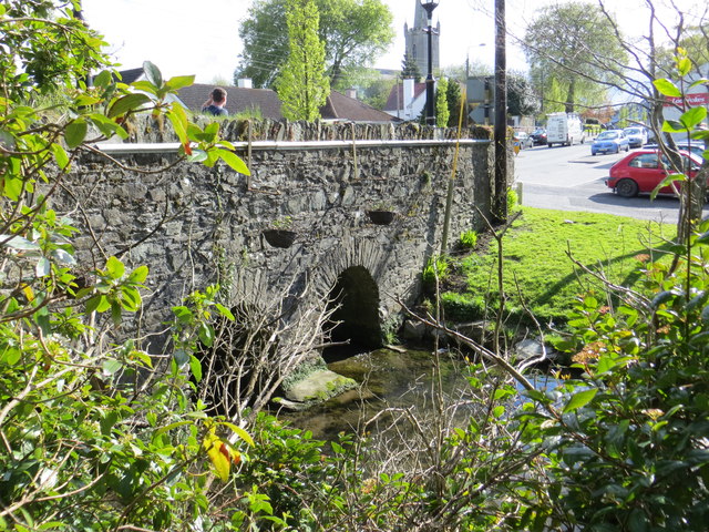 bridgebridge · 142 yd
 Kill MoatCastle, motte and bailey · 335 yd
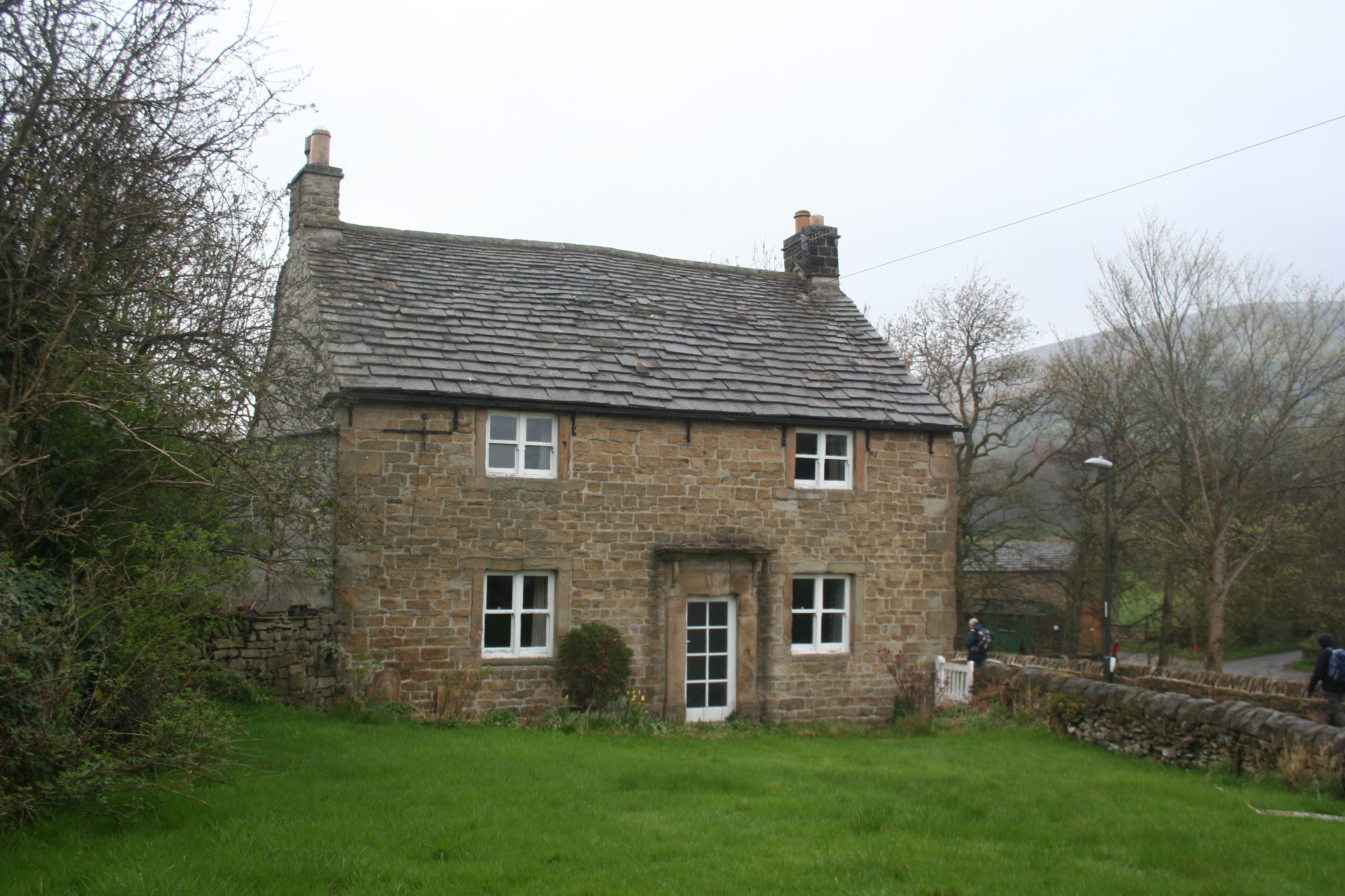 Enclosure in KillhillEnclosure · 474 yd
 Hartwell CastleCastle, unclassified · 1555 yd
 McCullagh's WoodWood · 1666 yd
 Common LimeCommon Lime · 1.3 mi
 Cupidstown HillMountain / peak · 4.2 mi
 Athgoe HillMountain / peak · 4.2 mi
 Saint Finian's WellSpring · 4.7 mi
 Inniscara GalleryGallery · 5.3 mi