What is recorded here
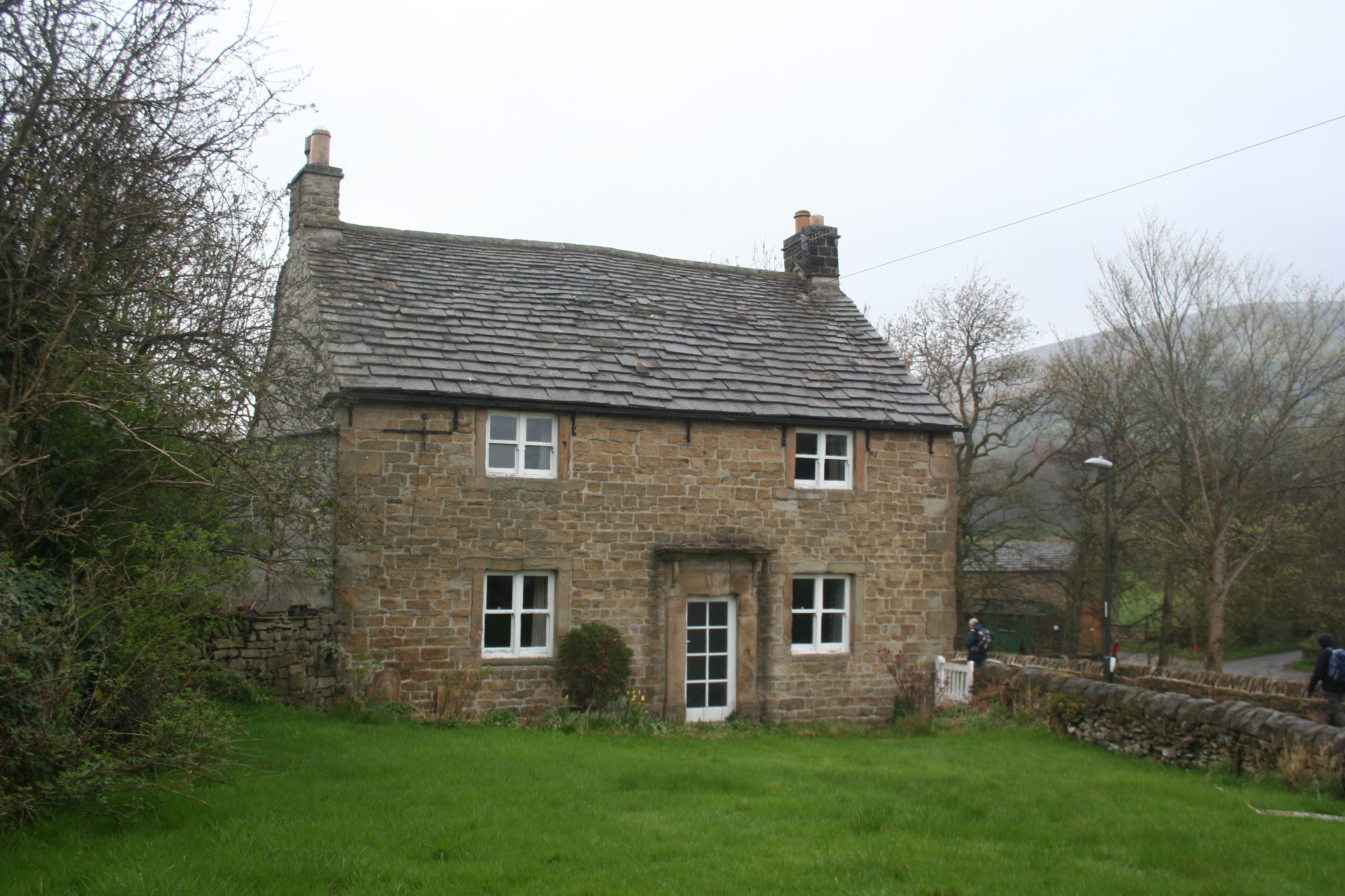
Shown on the latest ed. (1939) of the OS 6-inch map as an oval area (est. max diams. c. 70m NE-SW; c. 50m NW-SE) defined by a bank, standing c. 70m E of Kill motte-and-bailey (KD019-008004-). Described in 1955 as a sub rectangular enclosure, of which no visible surface traces survived in 1973 (SMR File).
Compiled by: Gearóid Conroy
Date of upload: 10 June 2011
This monument is subject to a preservation order made under the National Monuments Acts 1930 to 2014 (PO no. 3/2007).
A local fairy fort (ringfort/rath); wider significance not recorded.
The monument record does not grant public access. Check the route and ask the landowner before entering private land.
- What survives
- Recorded monument
Places near here
 Kill MoatCastle, motte and bailey · 151 yd
 Saint Brigid's National Schoolschool · 518 yd
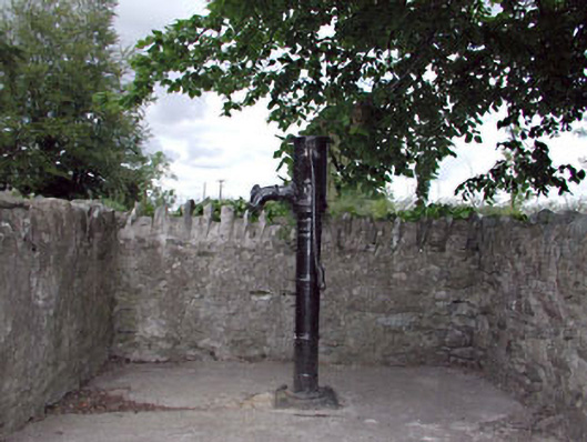 water pumpwater pump · 537 yd
 Ecclesiastical site in Kill WestEcclesiastical site · 544 yd
 IndicatedHillfort · 569 yd
 Hartwell CastleCastle, unclassified · 1377 yd
 McCullagh's WoodWood · 1.2 mi
 Common LimeCommon Lime · 1.4 mi
 Cupidstown HillMountain / peak · 3.9 mi
 Athgoe HillMountain / peak · 4.1 mi
 Saint Finian's WellSpring · 4.6 mi
 Inniscara GalleryGallery · 5.2 mi
Other information
Photo: Credit not shown in the picture search · Rights wording not checked; contact us if this picture should be removed