What is recorded here
Situated on a level platform with steep slopes to E and W. Two rectangular houses (int. dims. 9m x 4m) aligned E-W and defined by wall foundations. A track on the W side divides them from a rectangular field with traces of ridge and furrow cultivation.
The above description is derived from the published 'Archaeological Inventory of County Wicklow' (Dublin: Stationery Office, 1997). In certain instances the entries have been revised and updated in the light of recent research.
Date of upload/revision: 17 December 2008
The monument record does not grant public access. Check the route and ask the landowner before entering private land.
- What survives
- Recorded monument
Places near here
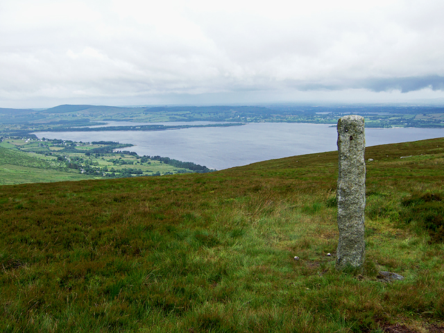 Hampden Bomber Crash 18 April 1941Monument · 825 yd
 Font in KilbegFont · 1357 yd
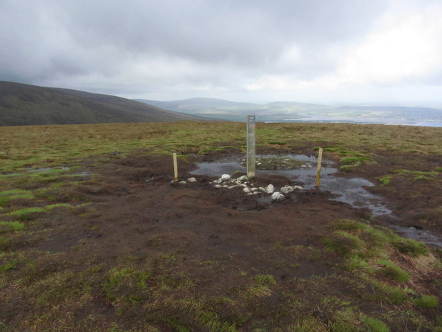 Black HillMountain / peak · 1690 yd
 Templebodin Ch. (in Ruins)Church · 1.0 mi
 MoanbaneMountain / peak · 1.4 mi
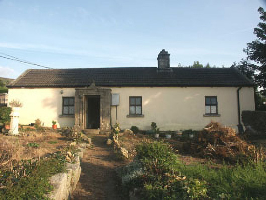 Saint Anthony'shouse · 1.6 mi
 Land Grabber MemorialRuins · 1.7 mi
 Lacken – Mass Path LoopWalking route · 1.7 mi
 Castle (in ruins)Castle, tower house · 3.7 mi
 OldcourtMemorial · 3.7 mi
 Site of CastleCastle, unclassified · 3.7 mi
 Artisans WorkshopsHeritage attraction · 4.4 mi