What is recorded here
In flat farmland at an important crossing point on the Clare River (see GA057-091----). Known in medieval sources as the manor of 'Corphyn' (Knox 1901a, 168-9). The initial settlement was established by Walter de Ridelesford in the late 1230s and though the present castle (GA057-089----) is of 15th-C date, it may occupy an earlier fortified site. A licence to hold a weekly market and a fair was granted in 1252 (Graham 1978, 43), but the character and status of the settlement is unclear (Holland 1988, 79-81). No visible surface trace survives and its exact location cannot be pinpointed: apart from the castle, the only topographical evidence for its location is the line of an old roadway (GA057-161----) on W bank of the river. The absence of a medieval church in the vicinity is notable; possibly just a manorial village. (Knox 1901b, 367)
The above description is derived from the published 'Archaeological Inventory of County Galway Vol. II - North Galway'. Compiled by Olive Alcock, Kathy de hÓra and Paul Gosling (Dublin: Stationery Office, 1999).
Date of upload: 28 February 2017
The monument record does not grant public access. Check the route and ask the landowner before entering private land.
- What survives
- Recorded monument
Places near here
 IndicatedFairy fort / ringfort · 1117 yd
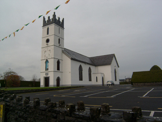 Saint Colman's Catholic Churchchurch/chapel · 1453 yd
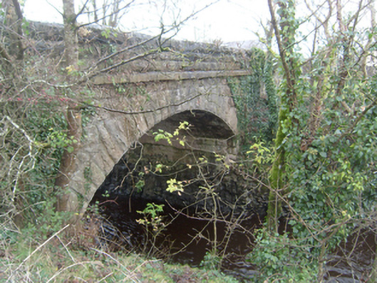 Corrofin Bridgebridge · 1490 yd
 RathmoreFairy fort / earthen ringfort · 1491 yd
 Corrofin CastleCastle · 1583 yd
 Castle (in ruins)Castle, tower house · 1.6 mi
 KnockmaaWood · 4.5 mi
 Common WhitebeamCommon Whitebeam · 5.0 mi
 Mass RockNamed rock · 6.0 mi
 Kilcoona Round TowerHeritage attraction · 6.8 mi
 Ballinduff BayBay · 8.3 mi
 Oileán an AoilIsland · 10 mi