What is recorded here
Clear water still moves through the old town, past houses no longer standing and a church that has watched the change. The land remembers more than people now, keeping the shape of streets and rooms beneath grass. What is lost has not stopped living; it has become part of the landscape, waiting to be remembered through what the land still shows.
On a gentle E-facing slope, just below the crest of a hill, in rolling grassland, with a stream running along the SW edge of the settlement, flowing into a river c. 200m to the E. In the field, immediately N, E and W of the medieval church (KK009-019001-) and graveyard (KK009-019002-) there are earthworks consisiting of trackways, enclosures and platforms which are indicative of a medieval settlement (KK009-019004-). The Down Survey parish map (1655-6) of Coolcashin shows 'a stump of a castle' (KK009-019005-) roughly at this location. There is a holy well (KK009-019007-) 18m W of the NW angle of graveyard.
Compiled by: Jean Farrelly
Date of upload: 30 January 2018
The monument record does not grant public access. Check the route and ask the landowner before entering private land.
- What survives
- Recorded monument
Places near here
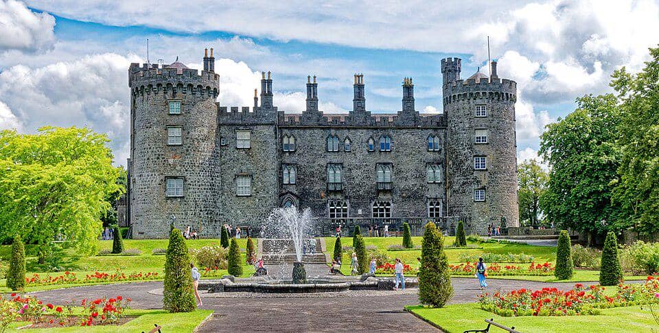 CastleCastle, unclassified · 1 yd
 Enclosure in CoolcashinEnclosure · 41 yd
 Church (in ruins)Church · 85 yd
 Grave YardGraveyard · 88 yd
 Saint Muntchan's Catholic Churchchurch/chapel · 742 yd
 Balleen Castle (ruins)Castle · 1.7 mi
 Street fieldArchaeological place · 2.3 mi
 Clomantagh HillMountain / peak · 2.8 mi
 John HelyMemorial · 4.1 mi
 DelaneyMemorial · 4.1 mi
 The CopseWood · 4.1 mi
 Anker's IslandIsland · 5.3 mi