
What is recorded here
Half a metre of risen earth still marks a twenty-metre circle beside the medieval church in Coolcashin, old enough that the abandoned settlement later formed around it rather than through it. The hill slope, grassland and nearby water give the place a lived-in shape, even though the people who first recognised its boundary have gone. It is not a grand ruin; it is a quiet line in the land, waiting to be remembered.
On a gentle E-facing slope, just below the crest of a hill, in rolling grassland, c. 160m NE of a stream which flows into a river c. 360m to the E. Located c. 100m NNE of a medieval church (KK009-019001-) and graveyard (KK009-019002-) is a circular enclosure (diam. c. 20m) enclosed by an earthen bank (H c. 0.5m). The enclosure appears to pre-date the surrounding earthworks of a deserted settlement (KK009-019004-) which seem to be respecting this feature.
Compiled by: Jean Farrelly
Date of upload: 30 January 2018
The monument record does not grant public access. Check the route and ask the landowner before entering private land.
- What survives
- Recorded monument
Places near here
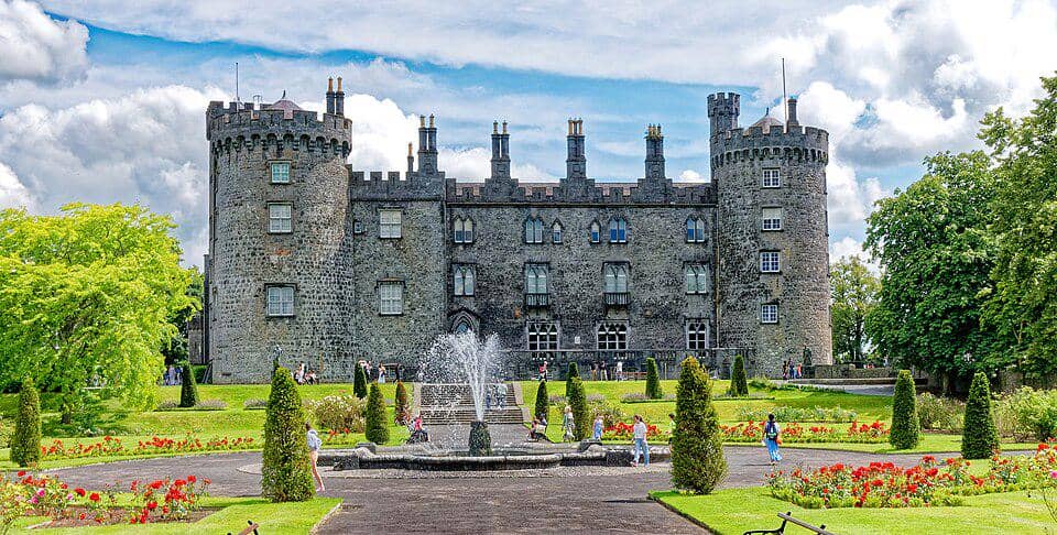 CastleCastle, unclassified · 41 yd
 Church (in ruins)Church · 117 yd
 Grave YardGraveyard · 123 yd
 Graveslab in CoolcashinGraveslab · 123 yd
 Saint Muntchan's Catholic Churchchurch/chapel · 759 yd
 Balleen Castle (ruins)Castle · 1.7 mi
 Street fieldArchaeological place · 2.3 mi
 Clomantagh HillMountain / peak · 2.9 mi
 John HelyMemorial · 4.1 mi
 DelaneyMemorial · 4.1 mi
 The CopseWood · 4.1 mi
 Anker's IslandIsland · 5.3 mi
Other information
Photo: Credit not shown in the picture search · Rights wording not checked; contact us if this picture should be removed