What is recorded here
Situated between the Shankill River to W, the modern road to the S and a sunken lane to the E. A complex of at least five rectangular houses each with smaller structures attached. Some buildings lie within small rectangular 'yards' or enclosures. The complex covers 0.35 hectares (c. 0.9 acres).
The above description is derived from the published 'Archaeological Inventory of County Wicklow' (Dublin: Stationery Office, 1997). In certain instances the entries have been revised and updated in the light of recent research.
Date of upload/revision: 17 December 2008
The monument record does not grant public access. Check the route and ask the landowner before entering private land.
- What survives
- Recorded monument
Places near here
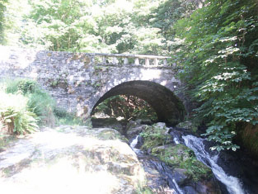 Cloghleagh Bridgebridge · 72 yd
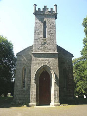 Saint John's Church (Kilbride)church/chapel · 234 yd
 Enclosure in CloghleaghEnclosure · 1444 yd
 Enclosure in KnockatillaneEnclosure · 1581 yd
 SeefinMountain / peak · 1.5 mi
 Rock WoodForest · 1.5 mi
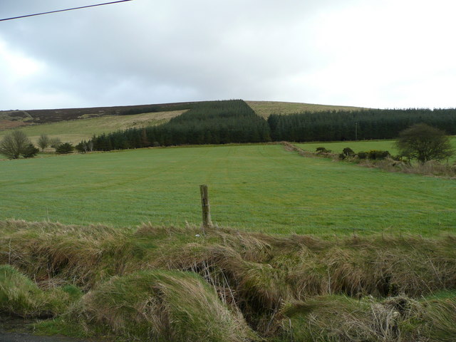 Butter MountainMountain / peak · 1.7 mi
 OldcourtMemorial · 1.9 mi
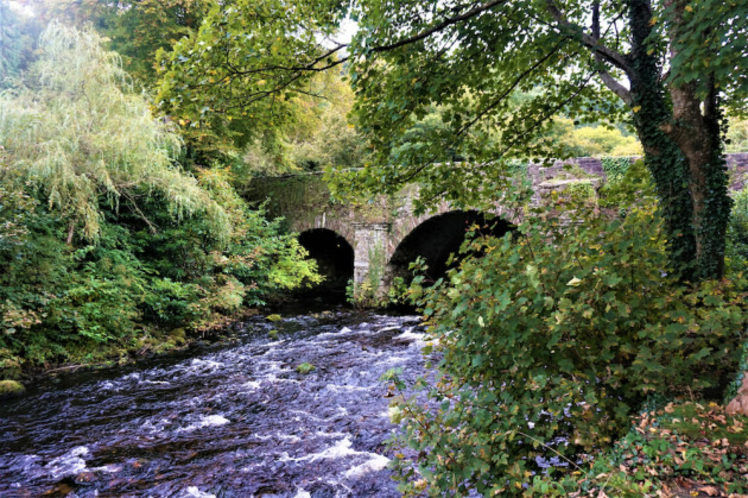 Athdown MoatCastle, motte · 1.9 mi
 Site of CastleCastle, unclassified · 2.1 mi
 Scots PineScots Pine · 2.8 mi
 Lacken – Mass Path LoopWalking route · 3.8 mi