What is recorded here
Kilmacoliver Hill holds a deserted medieval settlement beneath its graveyard, where four high crosses still mark an early monastic origin. People may have lived inside the enclosed wall, drinking water from the River Suir below and leaving pottery behind before abandoning the place. The valley remains witnesses to that forgotten occupation.
On the lower S-facing slope of Kilmacoliver Hill, overlooking the valley of the River Suir. The medieval church and graveyard (KK034-032002-) are located on the site of an early medieval monastery, as evidenced by four high crosses (KK034-032004-; KK034-032005-; KK034-032006-; KK034-032007-) within the graveyard. An archaeological excavation within the graveyard in 1985 (Hurley 1988, 124-34) revealed a wall and possible bank beneath it which may have been the ecclesiastical enclosure (KK034-032011-). Enclosed by this wall there was a layer of organically-enriched soil with associated medieval pottery which the excavator interpreted as a possible occupation layer (ibid. 130). Also revealed were a slot trench and post holes (ibid.).
Compiled by: Jean Farrelly
Date of upload: 20 August 2018
The monument record does not grant public access. Check the route and ask the landowner before entering private land.
- What survives
- Recorded monument
Places near here
 Kilkieran CrossesHeritage attraction · 10 yd
 IndicatedCross, High cross · 17 yd
 Holy well in Castletown (iverk By)Holy well · 69 yd
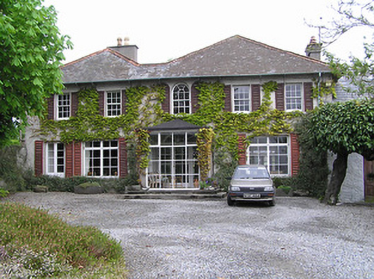 Newtownhouse · 1189 yd
 Kilmacoliver HillMountain / peak · 1229 yd
 Church (in ruins)Church · 1522 yd
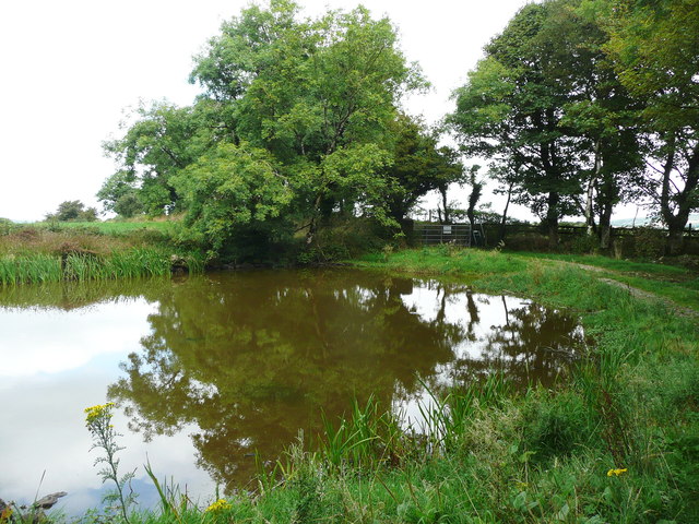 Dwyer Homestead and Pond, BregaunVisitor information · 1.0 mi
 Woodland LoopWalking route · 1.2 mi
 Burns WoodForest · 1.4 mi
 Carrigadoon HillMountain / peak · 1.4 mi
 Irish Republic 1916-2016Memorial · 1.5 mi
 CastleCastle, unclassified · 1.6 mi