What is recorded here
High Rath in Castle Eve lost its ancient fort to the plough, yet the Old Street field still holds mounds and foundation traces that mark the western edge of Kells during its greatest days. The settlement cluster appeared on maps as late as 1948, proving the place resisted complete erasure even after its buildings vanished. Perhaps residents walked that street until the road itself forgot them, leaving only soil and memory behind.
Carrigan (1905, vol. 3, 330) refers to, 'High Rath, a sub-division of Castle Eve, is so called from an ancient fort long since levelled', he goes on to say, 'There is here a field named "the Old Street," full of mounds and traces of foundations, which, the people all say, formed the extreme western limit of the city of Kells in the time of its greatness. High Rath is 1½ or 2 Irish miles distant from the present village of Kells'. 'Highrath' is indicated on the 1st (1839) ed. OS 6-inch map, the 1948 revision and on the 25-inch (1899) OS map as the name of a settlement cluster in the northern portion of Castle Eve townland. The precise location of earthworks described by Carrigan is unknown.
Compiled by: Jean Farrelly
Date of upload: 5 April 2023
The monument record does not grant public access. Check the route and ask the landowner before entering private land.
- What survives
- Recorded monument
Places near here
 TobernagibbogeHoly well · 451 yd
 IndicatedBawn · 682 yd
 TowerHouse, fortified house · 711 yd
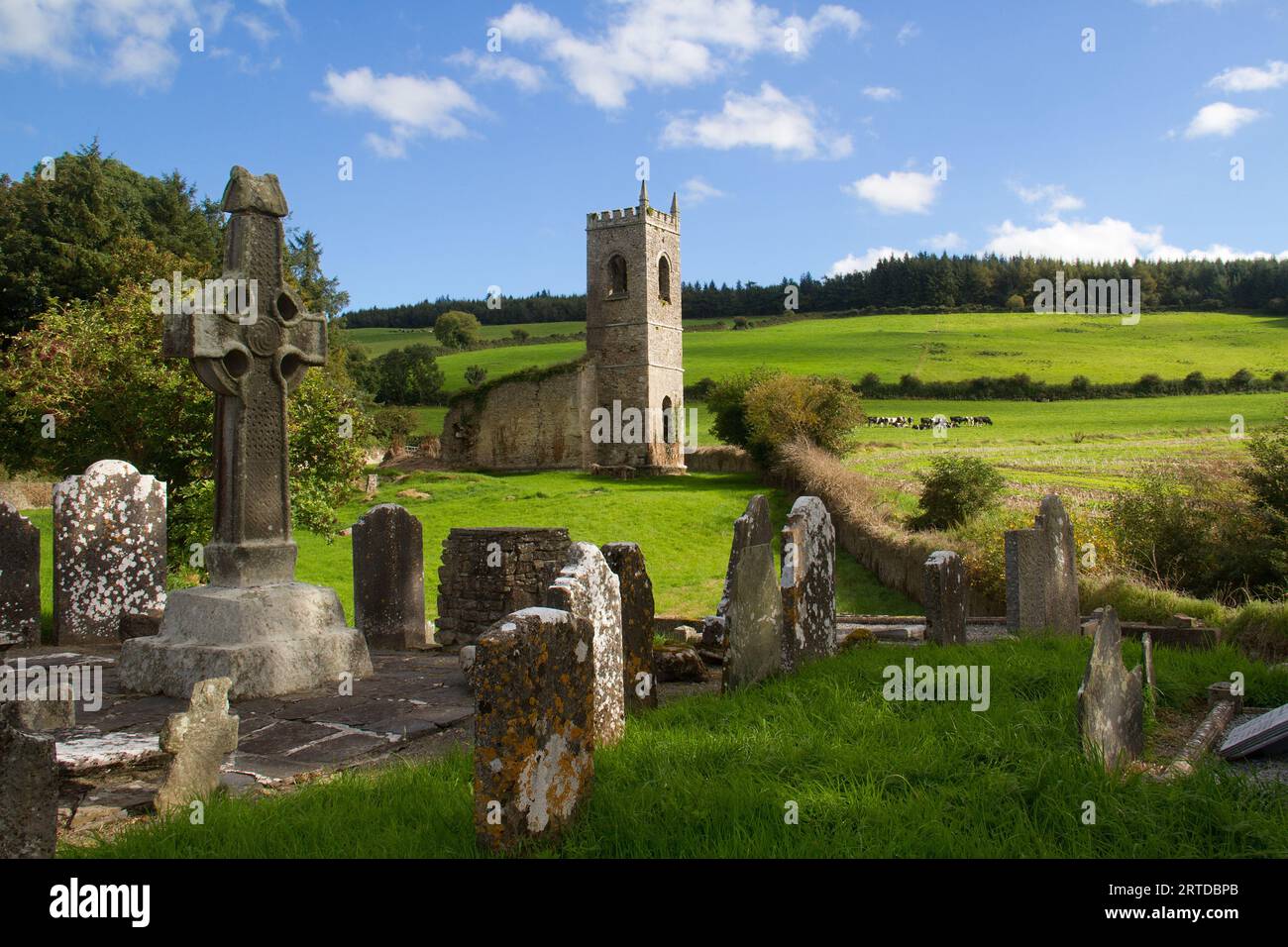 Rathculbin RathArchaeological place · 1009 yd
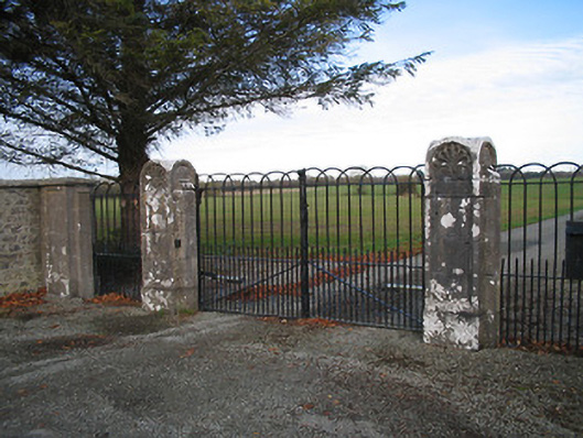 Kilcoran Housegates/railings/walls · 1123 yd
 Castle (in ruins)House, 16th/17th century · 1156 yd
 Mill IslandIslet · 1.6 mi
 BawnwilliamForest · 2.1 mi
 Sally OsiersForest · 2.2 mi
 Stop 7: Callan's Augustinian FriaryVisitor information · 2.2 mi
 Margaret RyanMemorial · 2.3 mi
 Humphrey O'SullivanMemorial · 2.3 mi