What is recorded here
The deserted medieval borough was situated on the north bank of the River Liffey and is now on a small spit of land extending into the Blessington Reservoir. The site appears to have been a pre-Norman ecclesiastical site forming part of the lands of the bishops of Glendalough in the twelfth century (MacNeill 1950, 5-6). The impressive early medieval crosses (WI005-047001-, WI005-047002-) indicate that it was a church of some wealth. After the unification of the dioceses of Dublin and Glendalough in 1216 the land passed to the see of Dublin and was run as an ecclesiastical manor. A borough, first referred to in a document dated to between 1256 and 1266 (ibid., 120), was subsequently established in conjunction with the manor. It appears to have largely declined by 1326 although the tower house (WI005-070004-) attests to the continued working of the land. No trace survives of the town itself but it may have been on lower ground to the E and W of the tower house and church (WI005-070001-).
The above description is derived from the published 'Archaeological Inventory of County Wicklow' (Dublin: Stationery Office, 1997). In certain instances the entries have been revised and updated in the light of recent research.
Date of upload/revision: 17 December 2008
The monument record does not grant public access. Check the route and ask the landowner before entering private land.
- What survives
- Recorded monument
Places near here
 CrossCross, High cross (present location) · 521 yd
 Font (present location) in Burgage MoreFont (present location) · 535 yd
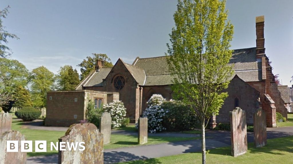 Church (in Ruins), Grave Yd., St. Marks Cross, HChurch · 679 yd
 Castle (in ruins)Castle, tower house · 710 yd
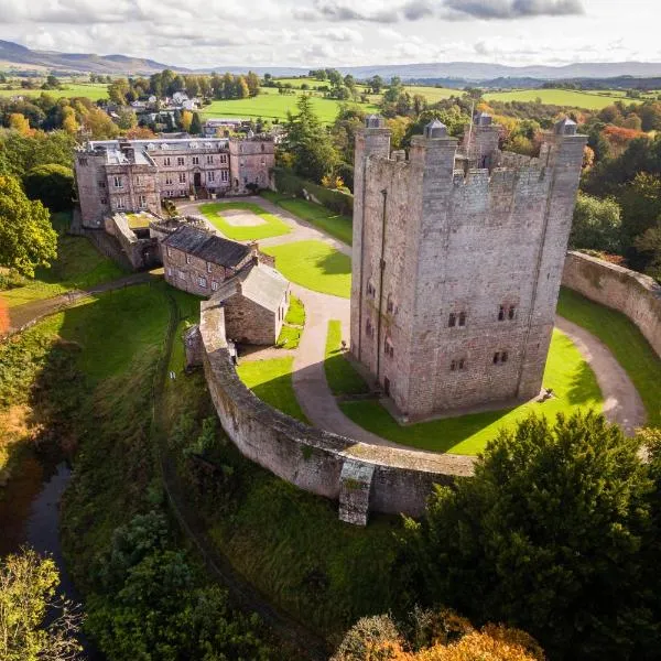 CastleCastle, ringwork · 751 yd
 Councillor Jim MileyMemorial · 1133 yd
 Proclamation of the Irish RepublicMemorial · 1163 yd
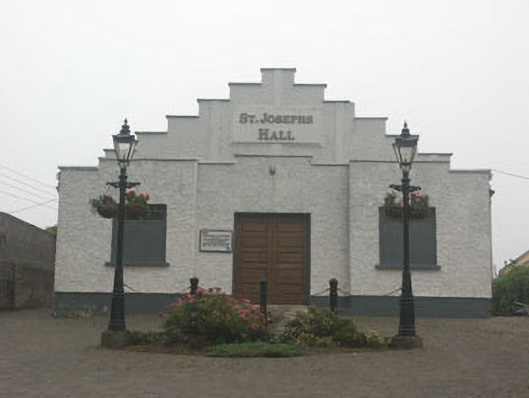 Saint Joesph's Hallchurch hall/parish hall · 1254 yd
 Blessington DemesneWood · 1.2 mi
 Deer Park PlantationForest · 1.5 mi
 Artisans WorkshopsHeritage attraction · 1.9 mi
 National Bird of Prey CentreHeritage attraction · 1.9 mi