
What is recorded here
Originally from the ancient church site at Burgage (see WI005-070016- for original location record). A sub-rectangular granite block (L 57cm; Wth 50cm; H 30cm) with a sub-rectangular basin (L at top 39.5cm; Wth at top 32cm; L at base 35cm; Wth at base 24cm; D 18cm). Towards one end of the flat base is a vertical drain hole (diam. at top 7.5cm; min. diam. 3cm; diam. at base 6cm).
The rim around the basin is flat on three sides. On the fourth side the rim is lower and cruder, and a piece has broken away at one end. There is a hole (L 3cm; Wth 1.5cm; D 1.5cm) at the broken end which originally was most likely deeper. At the opposite end is another small hole (diam. 1.5cm; D 1cm). The holes may have been used to secure a lid.
Compiled by: Chris Corlett and Claire Breen
Date of upload: 8 June 2012
A local church or high cross; wider significance not recorded.
The monument record does not grant public access. Check the route and ask the landowner before entering private land.
- What survives
- Recorded monument
Places near here
 CrossCross, High cross (present location) · 45 yd
 Enclosure in Burgage MoreEnclosure · 817 yd
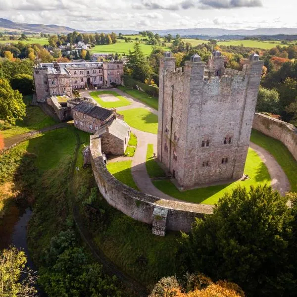 CastleCastle, ringwork · 823 yd
 Councillor Jim MileyMemorial · 826 yd
 Proclamation of the Irish RepublicMemorial · 867 yd
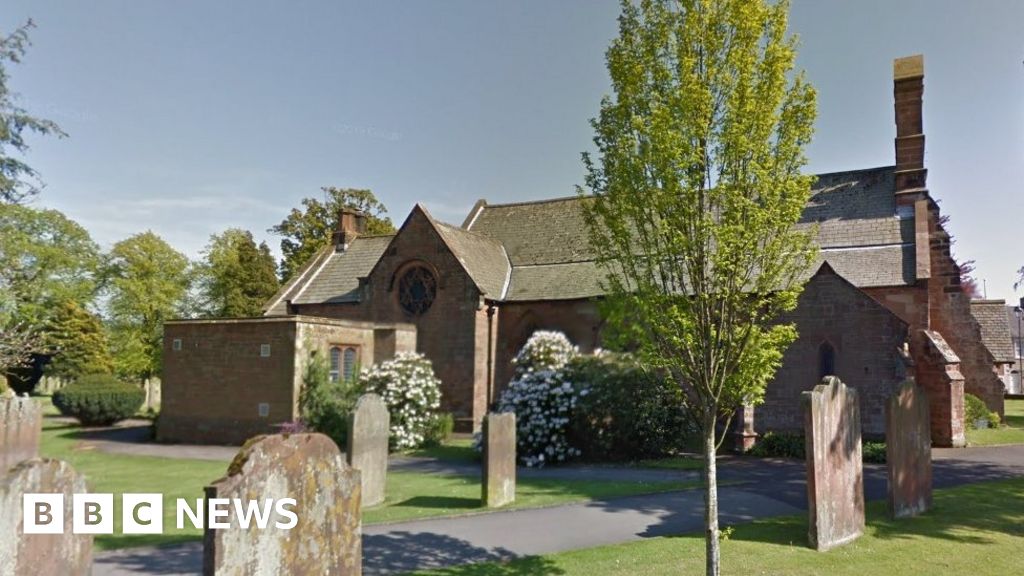 Church (in Ruins), Grave Yd., St. Marks Cross, HChurch · 983 yd
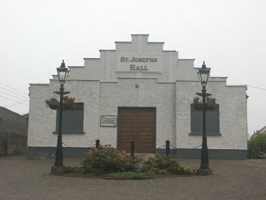 Saint Joesph's Hallchurch hall/parish hall · 991 yd
 Castle (in ruins)Castle, tower house · 1021 yd
 Blessington DemesneWood · 1737 yd
 Deer Park PlantationForest · 1.3 mi
 Artisans WorkshopsHeritage attraction · 1.9 mi
 National Bird of Prey CentreHeritage attraction · 1.9 mi
Other information
Photo: Credit not shown in the picture search · Rights wording not checked; contact us if this picture should be removed