
What is recorded here
Situated on a marked W-facing slope. Visible on aerial photograph (GSIAP, N 332-3) as an approximately circular enclosure, partly obscured by buildings (est. max. diam. c. 30m). Not visible at ground level.
The above description is derived from the published 'Archaeological Inventory of County Wicklow' (Dublin: Stationery Office, 1997). In certain instances the entries have been revised and updated in the light of recent research.
Date of upload/revision: 17 December 2008
The monument record does not grant public access. Check the route and ask the landowner before entering private land.
- What survives
- Recorded monument
Places near here
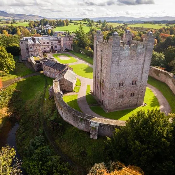 CastleCastle, ringwork · 609 yd
 Enclosure in GlashinaEnclosure · 709 yd
 CrossCross, High cross (present location) · 782 yd
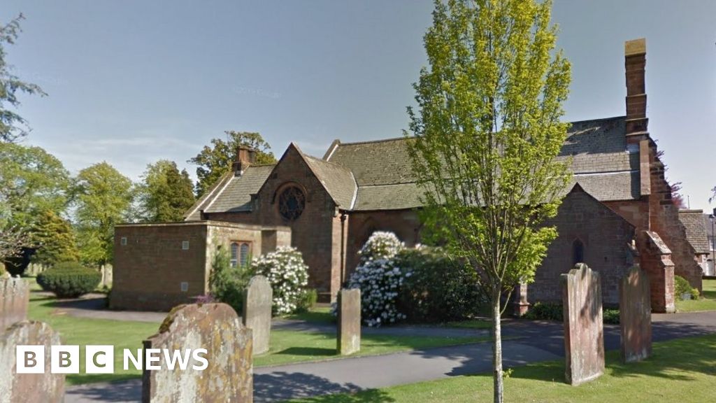 Church (in Ruins), Grave Yd., St. Marks Cross, HChurch · 983 yd
 Castle (in ruins)Castle, tower house · 1009 yd
 Councillor Jim MileyMemorial · 1556 yd
 Proclamation of the Irish RepublicMemorial · 1600 yd
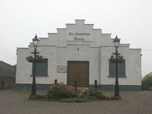 Saint Joesph's Hallchurch hall/parish hall · 1734 yd
 Blessington DemesneWood · 1.3 mi
 Deer Park PlantationForest · 1.4 mi
 Artisans WorkshopsHeritage attraction · 1.5 mi
 National Bird of Prey CentreHeritage attraction · 1.5 mi
Other information
Photo: Credit not shown in the picture search · Rights wording not checked; contact us if this picture should be removed