
What is recorded here
The Down Survey map (1655-58) depicts three houses in the vicintiy of Buolick tower house (TS048-020001-) and church (TS048-020002-). The Civil Survey (1654-6) refers to the castle and 'some cabbins wanting repaire' (Simington 1931, vol. 1, 128). There are well-preserved earthworks in the walled garden immediately W of the tower house, however, these appear to be related to the early 18th-century occupation of Buolick Castle by William Barker, who was living there in 1707 (Neely 2005, 45). The precise location of the settlement associated with the ringwork (TS048-020003-), tower house and medieval church is not known. However, it is possible that it occupied a large raised flat-topped ridge running N-S (dims. c. 400m N-S; c. 120m E-W) immediately S of the tower house. Identified on Bing Maps (Http://binged.it/1bzQyNu), the ridge is defined by gradual scarp (max. H 1.65m) with a series of enclosures along the eastern side defined by low banks with evidence of stone-facing and possible walling, mostly sod covered. These enclosures vary in size (dims. c. 20-50m N-S x c. 13-33m E-W) and tend to be U-shaped, being open towards the W. Approximately half way along the eastern side, below the ridge and c. 9m from the edge, there are two parallel banks (E bank ext. H to E 0.25m; ext. H to W 0.5m; Wth at top 1.4m; overall Wth 3.8m; W bank H 0.35m; Wth at top 1.4m; overall Wth 3m) running N-S for c. 60m. These narrow towards the northern end where they are terminated by scarp (Wth 5m) running E-W. The southern end is open, the banks simply petering out. The northern end of this ridge is within a field that had been recently tilled when visited. The lower eastern portion of the field, below the ridge, was very stony while the ridge itself was markedly stone free. The southern portion of the ridge is in pasture. The remnants of ridge and furrow, running E-W, are visible all along the ridge.
Compiled by: Jean Farrelly
Date of revised upload: 6 May 2015
The monument record does not grant public access. Check the route and ask the landowner before entering private land.
- What survives
- Recorded monument
Places near here
 Buolick Church (in ruins)Church · 304 yd
 Buolick MoatCastle, ringwork and bailey · 386 yd
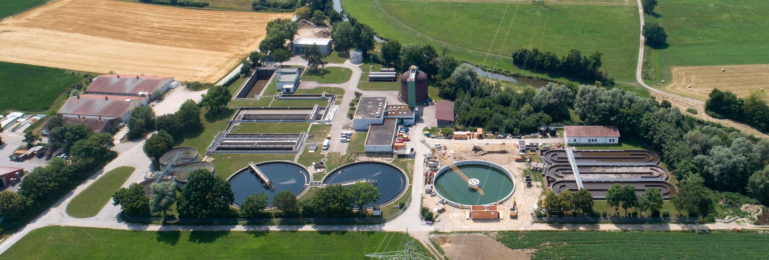 Field system in Coole (buolick Par.)Field system · 994 yd
 Enclosure in Coole (buolick Par.)Enclosure · 1107 yd
 IndicatedCastle, motte · 1113 yd
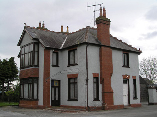 presbytery/parochial/curate's housepresbytery/parochial/curate's house · 1383 yd
 Bregaun HillMountain / peak · 2.0 mi
 Kilcooly AbbeyHeritage attraction · 2.1 mi
 Rapefield WoodForest · 2.4 mi
 KilcooleyForest · 2.6 mi
 Waterloo HillMountain / peak · 4.0 mi
 Derrynaflan TrailHeritage attraction · 4.6 mi
Other information
Photo: Credit not shown in the picture search · Rights wording not checked; contact us if this picture should be removed