
What is recorded here
An aerial photograph (GB89.AD.19, 16 July 1989) shows the cropmark of an incomplete curvilinear enclosure defined by a fosse. The cropmark of a possible enclosure (TS048-060002-) is visible c. 50m to the NE, the latter having a possible associated field system (TS048-060002-) to the N.
Compiled by: Jean Farrelly
Date of upload: 26 August 2011
The monument record does not grant public access. Check the route and ask the landowner before entering private land.
- What survives
- Recorded monument
Places near here
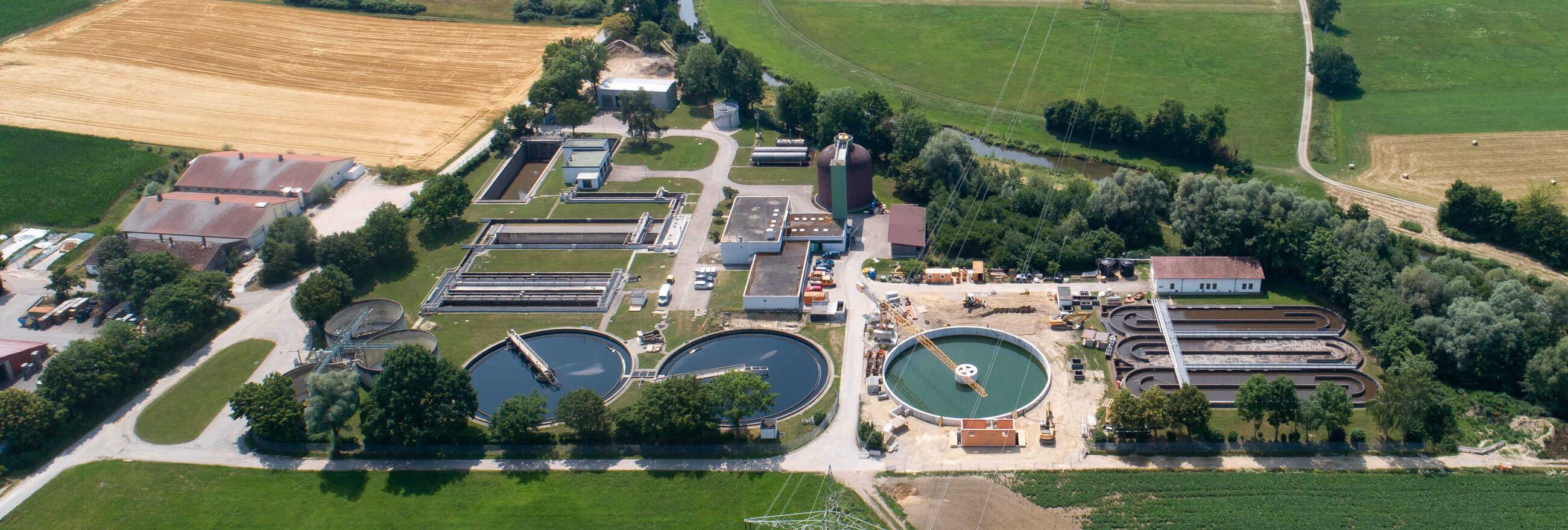 Field system in Coole (buolick Par.)Field system · 115 yd
 IndicatedCastle, motte · 552 yd
 Settlement desertedSettlement deserted, medieval · 1107 yd
 Littlefield Housecountry house · 1296 yd
 Buolick Church (in ruins)Church · 1363 yd
 Buolick MoatCastle, ringwork and bailey · 1432 yd
 Bregaun HillMountain / peak · 1.9 mi
 Kilcooly AbbeyHeritage attraction · 2.5 mi
 Rapefield WoodForest · 2.7 mi
 KilcooleyForest · 3.0 mi
 Waterloo HillMountain / peak · 3.4 mi
 Derrynaflan TrailHeritage attraction · 4.2 mi
Other information
Photo: Credit not shown in the picture search · Rights wording not checked; contact us if this picture should be removed