
What is recorded here
To W of Ballybrit Castle (GA082-012002-). Though not shown on the published OS 6-inch maps, it is marked on the 1819 Grand Jury Maps and OS Fair Plans as an extensive settlement of houses and earthworks (info. GBCAS Files). What survives today ; is a series of bumps and hollows representing the remains of house platforms and field systems (CUCAP B61; 37, 39, 40).
The above description is derived from the published 'Archaeological Inventory of County Galway Vol. I - West Galway'. Compiled by Paul Gosling (Dublin: Stationery Office, 1993).
Date of upload: 05 August 2010
This monument is subject to a preservation order made under the National Monuments Acts 1930 to 2014 (PO no. 14/1977).
The monument record does not grant public access. Check the route and ask the landowner before entering private land.
- What survives
- Recorded monument
Places near here
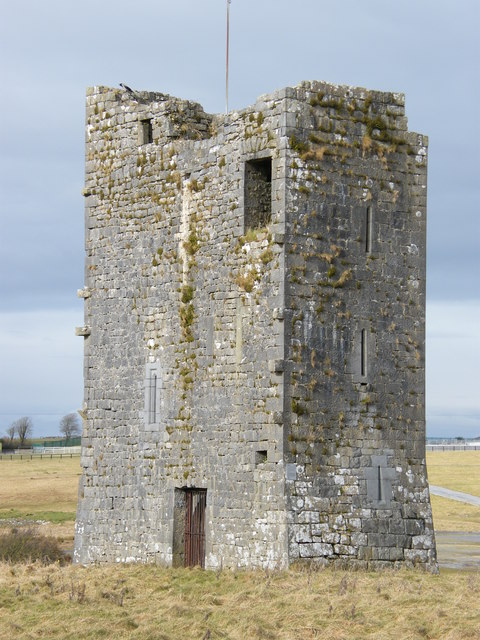 Ballybrit Castle (in ruins)Castle, tower house · 63 yd
 Enclosure in BallybritEnclosure · 212 yd
 IndicatedFairy fort / stone ringfort · 567 yd
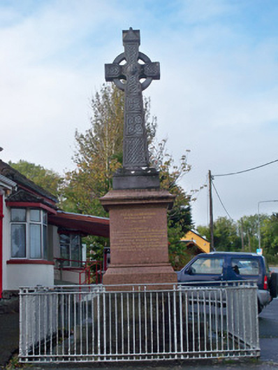 monumentmonument · 1155 yd
 Merlin CastleCastle, tower house · 1717 yd
 Royal Tara Visitor CentreHeritage attraction · 1.1 mi
 Chapel (in ruins)Chapel · 1.1 mi
 Cooper's CaveCave · 1.1 mi
 Aunteen WoodsWood · 1.5 mi
 Uncleen WoodsWood · 1.5 mi
 Ballyloughane BeachBeach / strand · 1.9 mi
 Rabbit IslandIslet · 2.2 mi
Other information
Photo: Credit not shown in the picture search · Rights wording not checked; contact us if this picture should be removed