
What is recorded here
In rough pastureland within the grounds of the Ballybrit racecourse; some 25m to the W of a rath (GA082-013----). Marked on 3rd ed. of OS 6-inch map (1945-6) as a roughly semicircular enclosure defined by a bank from SSW through W to N. In 1971 when the racecourse was widened most of the monument was removed and only a short arc of the bank (L 5m; Wth 2m; H 0.4m) from SSW to WSW remained undisturbed. No trace of a fosse was evident. Excavation produced nothing but a single post-medieval pot sherd (Waddell 1971, 73-9). It was not possible to determine the original plan of the enclosure and there was no indication that it was ever more than a rough semicircle in plan (ibid., 74).
The above description is derived from the published 'Archaeological Inventory of County Galway Vol. I - West Galway'. Compiled by Paul Gosling (Dublin: Stationery Office, 1993). In certain instances the entries have been revised and updated in the light of recent research.
Updated by: Olive Alcock
Date of revised upload: 30 August 2018
This monument is subject to a preservation order made under the National Monuments Acts 1930 to 2014 (PO no. 14/1977).
A local fairy fort (ringfort/rath); wider significance not recorded.
The monument record does not grant public access. Check the route and ask the landowner before entering private land.
- What survives
- Recorded monument
Places near here
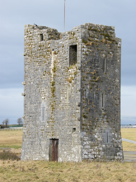 Ballybrit Castle (in ruins)Castle, tower house · 174 yd
 Settlement desertedSettlement deserted, medieval · 212 yd
 IndicatedFairy fort / stone ringfort · 525 yd
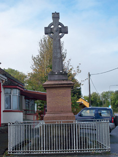 monumentmonument · 1339 yd
 Merlin CastleCastle, tower house · 1581 yd
 Royal Tara Visitor CentreHeritage attraction · 1.1 mi
 Cooper's CaveCave · 1.2 mi
 Chapel (in ruins)Chapel · 1.2 mi
 Aunteen WoodsWood · 1.3 mi
 Uncleen WoodsWood · 1.4 mi
 Ballyloughane BeachBeach / strand · 1.8 mi
 Rabbit IslandIslet · 2.1 mi
Other information
Photo: Credit not shown in the picture search · Rights wording not checked; contact us if this picture should be removed