
What is recorded here
On E side of a byroad in fairly flat scrub and pastureland. Though annotated as 'in Ruins' on 1st ed. of OS 6-inch map, it is indicated thereon as a rectangular, roofed building (E-W; L c. 20m, W c. 12m). No visible surface trace survives: a modern bungalow now occupies the site.
The above description is derived from the published 'Archaeological Inventory of County Galway Vol. I - West Galway'. Compiled by Paul Gosling (Dublin: Stationery Office, 1993).
Date of upload: 05 August 2010
The monument record does not grant public access. Check the route and ask the landowner before entering private land.
- What survives
- Recorded monument
Places near here
 Crannog in Castlegar (galway By.)Crannog · 537 yd
 Castle Gar in ruinsCastle, tower house · 591 yd
 Ballindooley CastleCastle, tower house · 908 yd
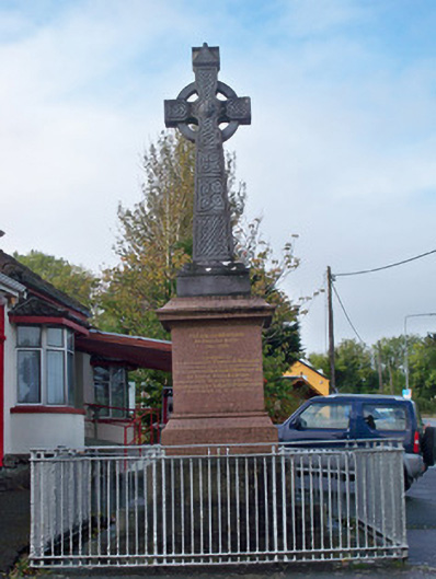 monumentmonument · 997 yd
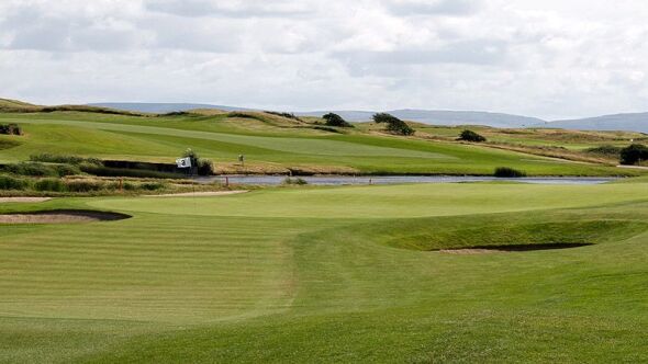 Quarry in BallindoolyQuarry · 1063 yd
 Cooper's CaveCave · 1313 yd
 Settlement desertedSettlement deserted, medieval · 1.1 mi
 Royal Tara Visitor CentreHeritage attraction · 1.2 mi
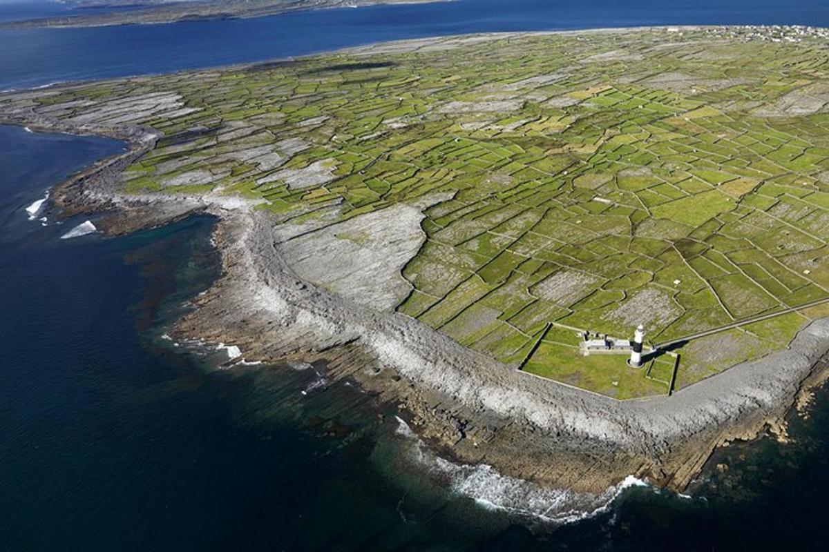 Jordan's IslandIslet · 2.1 mi
 Yew Tree MazeHeritage attraction · 2.1 mi
 Seán DugganMemorial · 2.2 mi
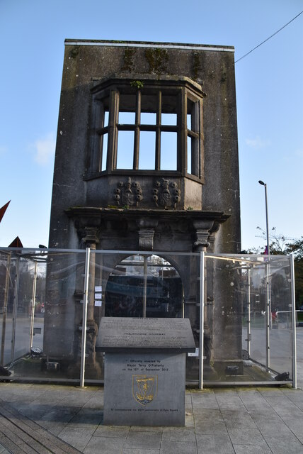 Browne DoorwayVisitor information · 2.3 mi
Other information
Photo: Credit not shown in the picture search · Rights wording not checked; contact us if this picture should be removed