
What is recorded here
Yes. Use the clear local name and return the requested new answer.
On a raised platform on the crest of a S-facing slope, in the house cluster of Castlegar, overlooking the headwaters of the Terry land River. In existence in 1574 when it was in the possession of 'Rolland Skeret' (Nolan 1901, 115). Rectangular four-storey tower (L c. 9.3m, Wth 7.5m) in fair condition: most of SE and SW walls are gone. However, sufficient remains to indicate the position of the doorway in SE wall. The stairwell was in the SE corner. The ground, 1st and 2nd floors each comprised a main chamber with a subsidiary one to SE. A stone vault existed between 3rd/4th storeys and there is an exit to a latrine chute at the base of NW wall. A possibly concealed chamber existed beneath the floor in SW side of 4th storey. Most of the latter storey and the parapets above are gone. All the surviving windows are single-lights with circular, flat or ogee heads. (O'Flanagan 1927a, Vol. 1, 399-400)
The above description is derived from the published 'Archaeological Inventory of County Galway Vol. I - West Galway'. Compiled by Paul Gosling (Dublin: Stationery Office, 1993).
Date of upload: 05 August 2010
Built or held by Rolland Skeret in 1574, Castle Gar is remembered as a historical landmark associated with the Nolan family in the Castlegar area, reflecting early landholding patterns in the region.
The monument record does not grant public access. Check the route and ask the landowner before entering private land.
- What survives
- Recorded monument
Places near here
 Chapel (in ruins)Chapel · 591 yd
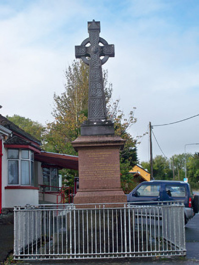 monumentmonument · 622 yd
 Cooper's CaveCave · 723 yd
 Crannog in Castlegar (galway By.)Crannog · 850 yd
 Ballindooley CastleCastle, tower house · 1325 yd
 Royal Tara Visitor CentreHeritage attraction · 1578 yd
 IndicatedEnclosure · 1652 yd
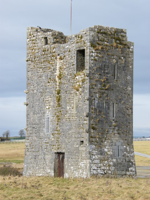 Ballybrit Castle (in ruins)Castle, tower house · 1.0 mi
 Yew Tree MazeHeritage attraction · 1.8 mi
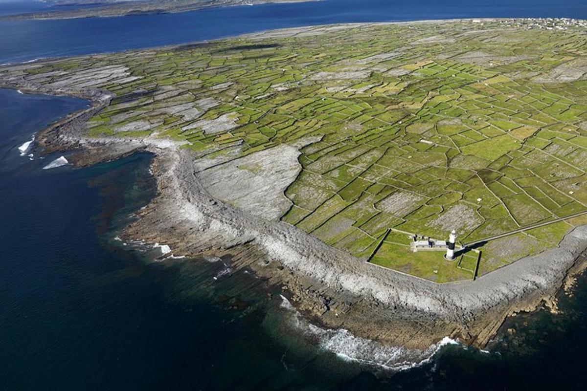 Jordan's IslandIslet · 1.8 mi
 Seán DugganMemorial · 1.9 mi
 Siege of Galwaysiege · 1.9 mi
Other information
Photo: Credit not shown in the picture search · Rights wording not checked; contact us if this picture should be removed