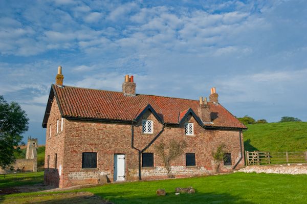
What is recorded here
Situated on a gentle E-facing slope between Ballintober castle (RO027-048002-) and a turlough c. 350m to the E. Magnetometer and Ground Penetrating Radar surveys (15R0051) conducted during 2015-18 demonstrate that an area of about 4.5 ha (c. 11 acres) was divided into small strip fields (RO027-048014-), and that many of these plots are aligned end-on to a NW-SE roadway (RO027-048023-) running SE from the gateway in the E curtain wall of the castle. At least nine of the fifteen or so identified plots have house sites within them, and constitute a settlement cluster which is part of the town of Ballintober (RO027-048----). The houses are close to the roadway on the N side but further away from it on the S side. Refinements of the survey process can identify what might be hearths within the houses and pits in their vicinity. Excavation (15E0232) across one of the plots in 2018 showed that they were bounded by open ditches (Wth 4m; D 1.6m: Wth 4.75m; D 1.37m) and the house walls were a mix of stones and boulder clay. The house had two hearths separated by a cobbled surface, but artefacts from secure contexts have not yet been analysed. (Brady et al. 2017, 31-44; 2018, 18-20, 26)
Compiled by: Michael Moore
Date of upload: 24 November 2020
The monument record does not grant public access. Check the route and ask the landowner before entering private land.
- What survives
- Recorded monument
Places near here
 Field system in BallintoberField system · 66 yd
 RoadRoad, road/trackway · 74 yd
 Remains of Stone CrossCross, Market cross · 169 yd
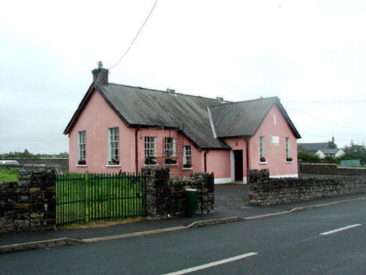 Ballintober National Schoolschool · 208 yd
 CastleCastle, Anglo-Norman masonry castle · 323 yd
 Silver IslandIslet · 3.7 mi
 Workhouse MemorialMemorial · 4.0 mi
 HawthornHawthorn · 4.4 mi
 Castlereagh HouseCastle, unclassified · 4.5 mi
 Site of Killomaine Grave YardArchaeological place · 4.9 mi
 Clonalis HouseMuseum · 5.9 mi
 European ashEuropean ash · 8.7 mi
Other information
Photo: Credit not shown in the picture search · Rights wording not checked; contact us if this picture should be removed