
What is recorded here
Situated on a gentle E-facing slope between Ballintober castle (RO027-048002-) and a turlough c. 350m to the E where a possible crannog (RO027-048025-) has been identified. Magnetometer and ground penetrating radar surveys (15R0051) conducted during 2015-18 over an extensive area of c. 7 hectares (c. 18 acres) demonstrate that a settlement (RO0287-048024-) clustered around a NW-SE roadway (Wth 12-14m; recorded L 200m plus) running SE from the gateway in the E curtain wall of the castle. Excavation (15E0232) across the roadway in 2017 revealed it to be a roughly-paved surface (Wth 4m) with an accompanying drain on the SW side and a path on the other (Brady et al. 2018, 18-20, 26). (Brady et al. 2017, 31-44; Brady 2018)
Compiled by: Michael Moore
Date of upload: 24 November 2020
The monument record does not grant public access. Check the route and ask the landowner before entering private land.
- What survives
- Recorded monument
Places near here
 Field system in BallintoberField system · 44 yd
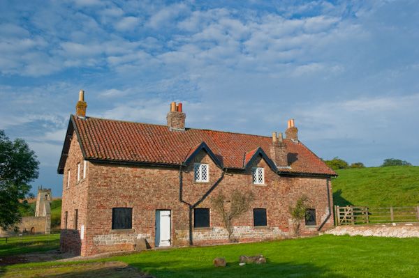 Settlement desertedSettlement deserted, medieval · 74 yd
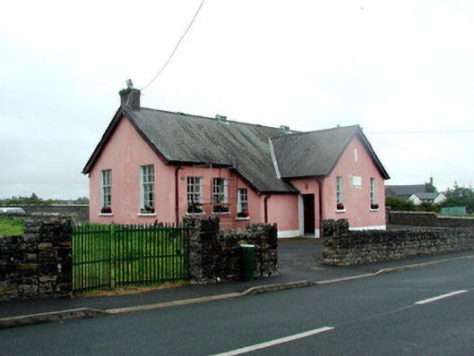 Ballintober National Schoolschool · 206 yd
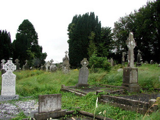 graveyard/cemeterygraveyard/cemetery · 239 yd
 CastleCastle, Anglo-Norman masonry castle · 395 yd
 Silver IslandIslet · 3.7 mi
 Workhouse MemorialMemorial · 4.0 mi
 HawthornHawthorn · 4.3 mi
 Castlereagh HouseCastle, unclassified · 4.6 mi
 Site of Killomaine Grave YardArchaeological place · 4.9 mi
 Clonalis HouseMuseum · 5.9 mi
 European ashEuropean ash · 8.7 mi
Other information
Photo: Credit not shown in the picture search · Rights wording not checked; contact us if this picture should be removed