
What is recorded here
Marked on the 1837 and 1929 eds. of the OS 6-inch map, and situated on the W side of the main street, between the castle (RO027-048002-) and the church (RO027-048005-). It does not survive, but is described as small and was probably a late medieval market cross. (Crawford 1907A, 217)
Compiled by: Michael Moore
Date of upload: 24 August 2010
The monument record does not grant public access. Check the route and ask the landowner before entering private land.
- What survives
- Recorded monument
Places near here
 Ritual siteRitual site, holy tree/bush · 116 yd
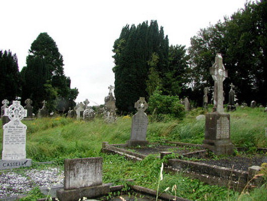 graveyard/cemeterygraveyard/cemetery · 126 yd
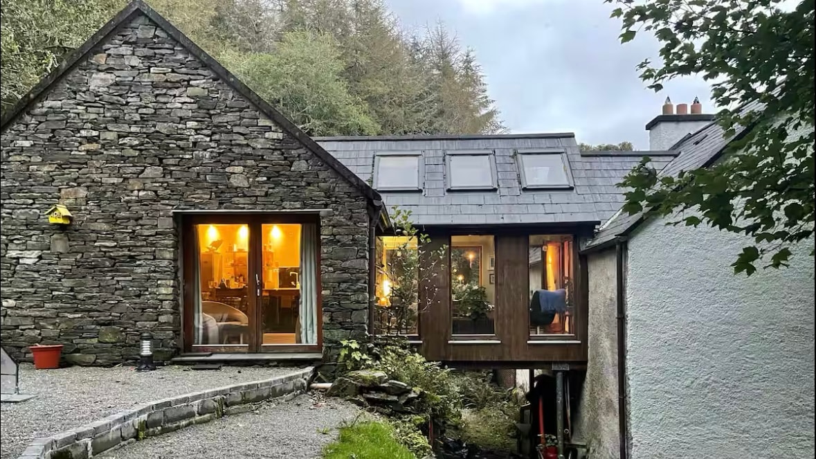 Enclosure in Ballintober,rosmeenEnclosure · 146 yd
 IndicatedChurch · 149 yd
 CastleCastle, Anglo-Norman masonry castle · 189 yd
 Silver IslandIslet · 3.6 mi
 Workhouse MemorialMemorial · 3.9 mi
 HawthornHawthorn · 4.4 mi
 Castlereagh HouseCastle, unclassified · 4.5 mi
 Site of Killomaine Grave YardArchaeological place · 4.8 mi
 Clonalis HouseMuseum · 5.8 mi
 European ashEuropean ash · 8.8 mi
Other information
Photo: Credit not shown in the picture search · Rights wording not checked; contact us if this picture should be removed