What is recorded here
Six rectangular rooms, each about twenty metres long and ten wide, still mark the ground beneath the ploughed field in County Kildare. They belong to a medieval settlement now deserted, hidden under crop and soil yet sharp enough in aerial image to be counted. The rooms may have held families, tools, milk pails and arguments, but no wall or hearth remains for a hand to touch.
Visible on an aerial photograph (GSI N438-7) as a series of some half-dozen small rectangular enclosures (est. av. dims L c. 20m; Wth c. 10m) covering a roughly rectangular area (est. dims. L c. 100m E-W; Wth c. 60m). On a gentle W-facing tillage slope. No visible surface traces survive in this ploughed field.
See attached image of Google Earth photograph taken 28/06/2018 which shows cropmark of the settlement based on information supplied by Anthony Murphy
Compiled by: Gearóid Conroy
Date of upload: 10 June 2011
The monument record does not grant public access. Check the route and ask the landowner before entering private land.
- What survives
- Recorded monument
Places near here
 Enclosure in NewparkEnclosure · 267 yd
 Enclosure in BallintineEnclosure · 333 yd
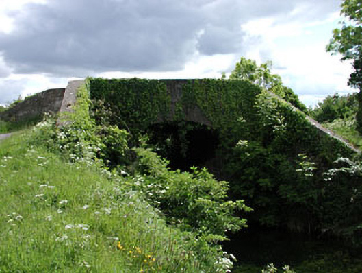 Pim Bridgebridge · 837 yd
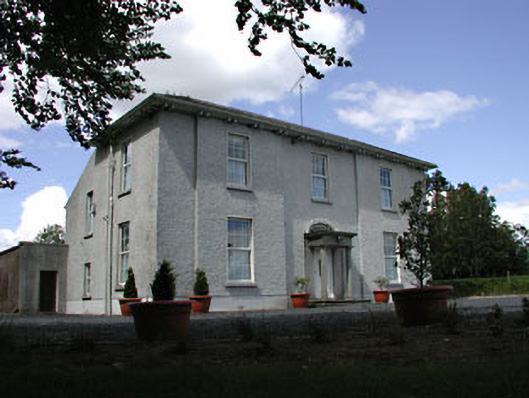 presbytery/parochial/curate's housepresbytery/parochial/curate's house · 1018 yd
 Bawn in Grangeclare WestBawn · 1509 yd
 Kilmeague CastleRuins · 1570 yd
 Hill of AllenMountain / peak · 1.3 mi
 Grand Canal WayVisitor information · 2.4 mi
 Lullymore Heritage ParkHeritage attraction · 4.1 mi
 Pollardstown Fen Nature ReserveNature reserve · 4.1 mi
 Foran's WoodForest · 4.2 mi
 Bithia Mary CrokerMemorial · 6.0 mi