What is recorded here
The precise location of possible medieval settlement associated with Annagh castle (LI006-068001-) has not been identified. The 17th century Down Survey map of Owneybeg barony (Hib. Reg.) depicted the castle as a central block flanked on either side by an angle tower with a cluster of cabins nearby which may indicate the existence of a medieval settlement associated with the castle
See attached Down Survey map of Owneybeg barony showing Annagh Castle and the cluster of cabins.
Compiled by: Caimin O'Brien
Date of upload: 14 January 2020
The monument record does not grant public access. Check the route and ask the landowner before entering private land.
- What survives
- Recorded monument
Places near here
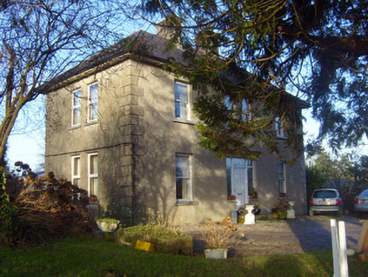 The Orchardshouse · 186 yd
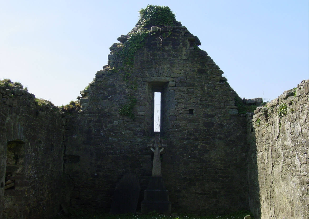 Burial in AnnaghBurial · 204 yd
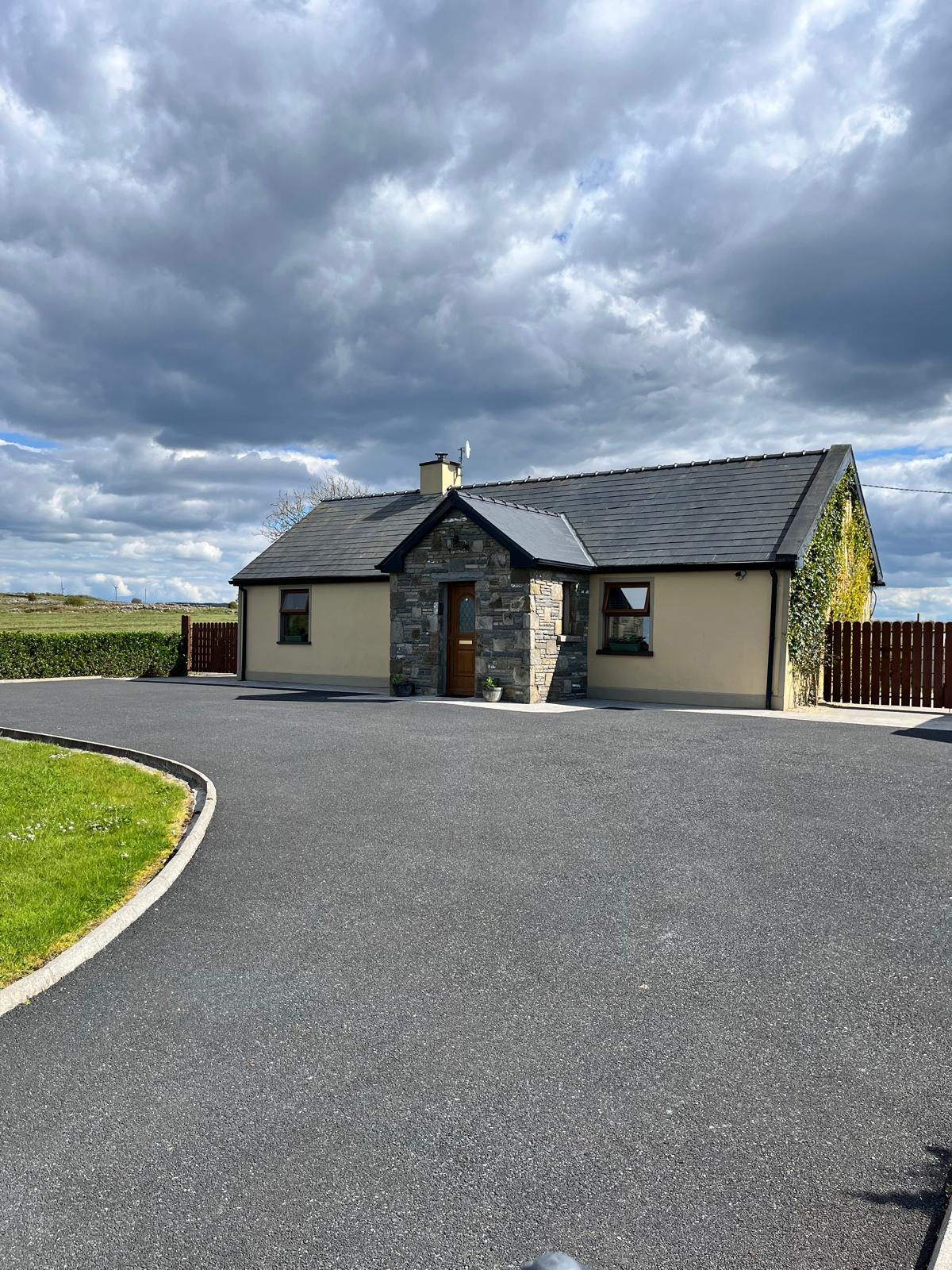 Partially hachuredFairy fort / earthen ringfort · 420 yd
 Annagh Bridgebridge · 1478 yd
 CastleCastle, unclassified · 1.3 mi
 Sliev Felim WayVisitor information · 2.8 mi
 Graveyard in AbingtonGraveyard · 3.3 mi
 Site of Derryleigh CastleCastle, unclassified · 3.3 mi
 Campus MapVisitor information · 4.9 mi
 The Pollagh TrailNature reserve · 6.6 mi
 KnockseefinMountain / peak · 8.8 mi
 My Next AdventureHeritage attraction · 9.0 mi