What is recorded here
Glasnevin held ten hearth houses in 1664 and twenty-four householders by 1667, a sudden doubling that suggests marriage, birth or return rather than new construction. Three homes large enough for two hearths and an oven stood among them, kitchens busy enough to bake for neighbours. Richard Francis mapped the associated farms in 1640, before the rolls gave the place its shape. What the cluster lacked was not land or fire but a name, which is why it still resists being pointed at.
The Hearth Money Rolls for County Dublin (1664) list 10 houses with hearths in Glasnevin. In 1667 the householders increased to 24 and three houses were rated for 2 hearths and an oven and three for 2 hearths each (Ball 1920, 124-147). The farms associated with these houses are shown on a map based on information recorded in 1640 by Richard Francis.
Compiled by: Geraldine Stout
Upload date: 28 September 2011
The monument record does not grant public access. Check the route and ask the landowner before entering private land.
- What survives
- Recorded monument
Places near here
 Irish Meteorological Officemeteorological station · 30 yd
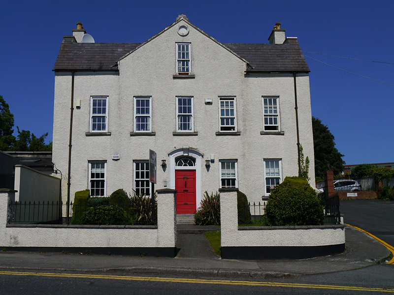 Beechmount Househouse · 74 yd
 Ecclesiastical enclosure in Unknown TownlandEcclesiastical enclosure · 133 yd
 Burial ground in Unknown TownlandBurial ground · 148 yd
 Graveyard in Unknown TownlandGraveyard · 177 yd
 BaldcypressBaldcypress · 323 yd
 Dawn RedwoodDawn Redwood · 340 yd
 Glasnevin VillageVisitor information · 459 yd
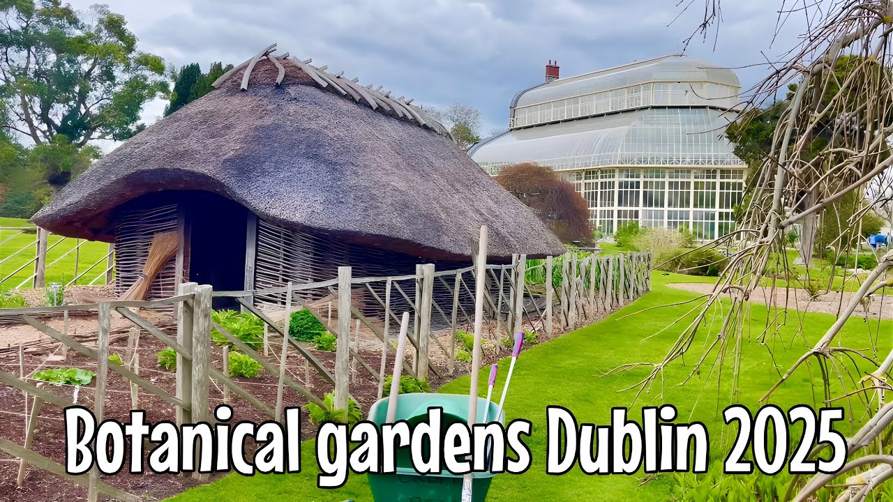
 National Botanic GardensHeritage attraction · 493 yd
 Reconstructed viking houseHeritage attraction · 499 yd
 SHVisitor information · 594 yd
 Republican plotMemorial · 835 yd
Other information
Photo: Credit not shown in the picture search · Rights wording not checked; contact us if this picture should be removed