What is recorded here
In a river valley, E of a meandering stream called the Craosóg (O’Kelly 1969, 192) and S of a church (KK022-027001-) and graveyard (KK022-027002-). According to Carrigan (1905, vol. 3, 321), the ‘field to the south of the churchyard is called “the Old Street,” and hence must be the site of some ancient village’. O’Kelly (ibid.), also mentions, ‘The Sean-bhaile, Old street, and Old court are fields lying south of the churchyard denoting a hamlet formerly’. Neither Carrigan or O’Kelly mention the Callan-Kilkenny road which runs NE-SW c. 40m S of the graveyard and it is unclear whether the fields referred extend S of this road. There is no visible trace of a settlement on satellite imagery (Google Earth and Digitalglobe, viewed 25 May 2021).
Compiled by: Jean Farrelly
Date of upload: 25 May 2021
This remains an important historical record, but the official description says the monument is no longer visible or has been destroyed. The monument record does not grant public access. Check the route and ask the landowner before entering private land.
- What survives
- No visible remains or recorded as destroyed
Places near here
 Church in Tullamaine (ashbrook)Church · 42 yd
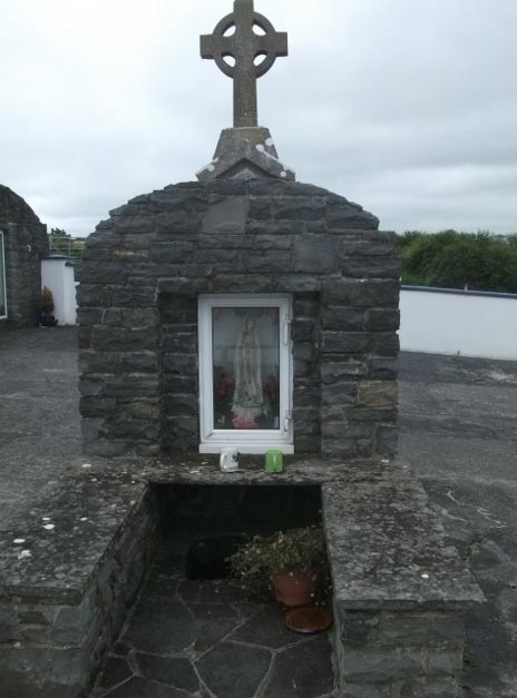 Holy WellHoly well · 283 yd
 Enclosure in Tullamaine (ashbrook)Enclosure · 800 yd
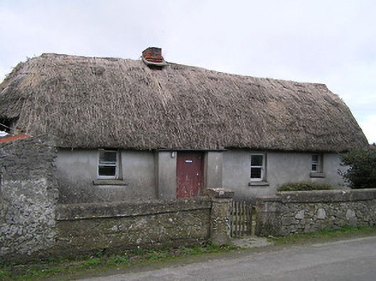 Dixon's Cottagefarm house · 1.0 mi
 CastleCastle, ringwork · 1.0 mi
 Pedunculate OakPedunculate Oak · 1.4 mi
 GreatwoodForest · 1.5 mi
 Stop 7: Callan's Augustinian FriaryVisitor information · 1.9 mi
 Margaret RyanMemorial · 1.9 mi
 The MotteVisitor information · 2.0 mi
 Edmund Rice Heritage CentreMuseum · 2.0 mi
 TowerHouse, fortified house · 2.0 mi