What is recorded here
Located at the bottom of the E-facing slope of the broad Hill of Ward or Tlachta. An area of habitation plots, fields and a sunken hollow way were identified on LiDAR material within a subrectangular field (max. dims c. 350m NE-SW: c. 170m NW-SE) (Davis, 2011, 39) before it was partially ploughed. There is evidence of narrow land divisions (dims c. 65m plus NE-SW; c. 25m NW-SE; H 0.2-3m) running along the W side of the area with a larger rectangular field (dims 120m NW-SE; c. 100m NE-SW) just to the E. This large enclosure has a raised rectangular area (dims c. 28m x c. 14m) at the E angle and a raised circular feature (diam. c. 25m; H 0.6m) outside the W angle, which is interpreted as a possible windmill mound. A remote sensing survey (12R0058) recovered evidence of two three-roomed house sites (dims c. 15m NW-SE; c. 4-5m NE-SW) located on a NNW-SSE street or hollow way that are probably associated with the smaller W fields. Three areas that are interpreted as possible middens were also identified. (Davis 2017, 7)
Compiled by: Michael Moore
Date of revised upload: 21 April 2017
The monument record does not grant public access. Check the route and ask the landowner before entering private land.
- What survives
- Recorded monument
Places near here
 Font in TlachtaFont · 634 yd
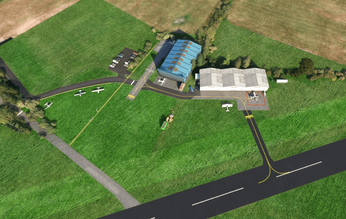 Enclosure in Ballyboy (lune By., Rathmore Par.)Enclosure · 933 yd
 AbbeyChurch · 1.2 mi
 CastleCastle, motte · 1.4 mi
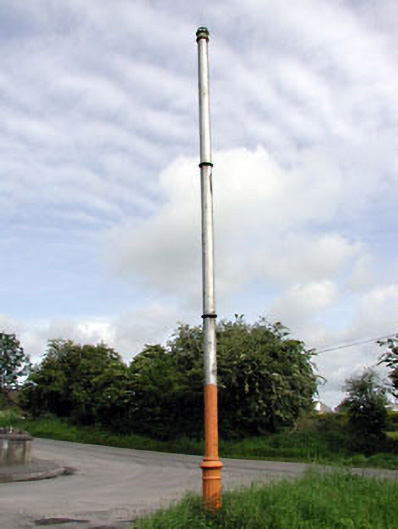 vent pipevent pipe · 1.5 mi
 JamestownMountain / peak · 2.1 mi
 Fraine CastleCastle, tower house · 3.1 mi
 FraineMountain / peak · 3.3 mi
 FarmaphobiaHeritage attraction · 3.3 mi
 Causey FarmHeritage attraction · 3.3 mi
 Laurelberry WoodWood · 3.7 mi
 Girley WoodWood · 3.7 mi