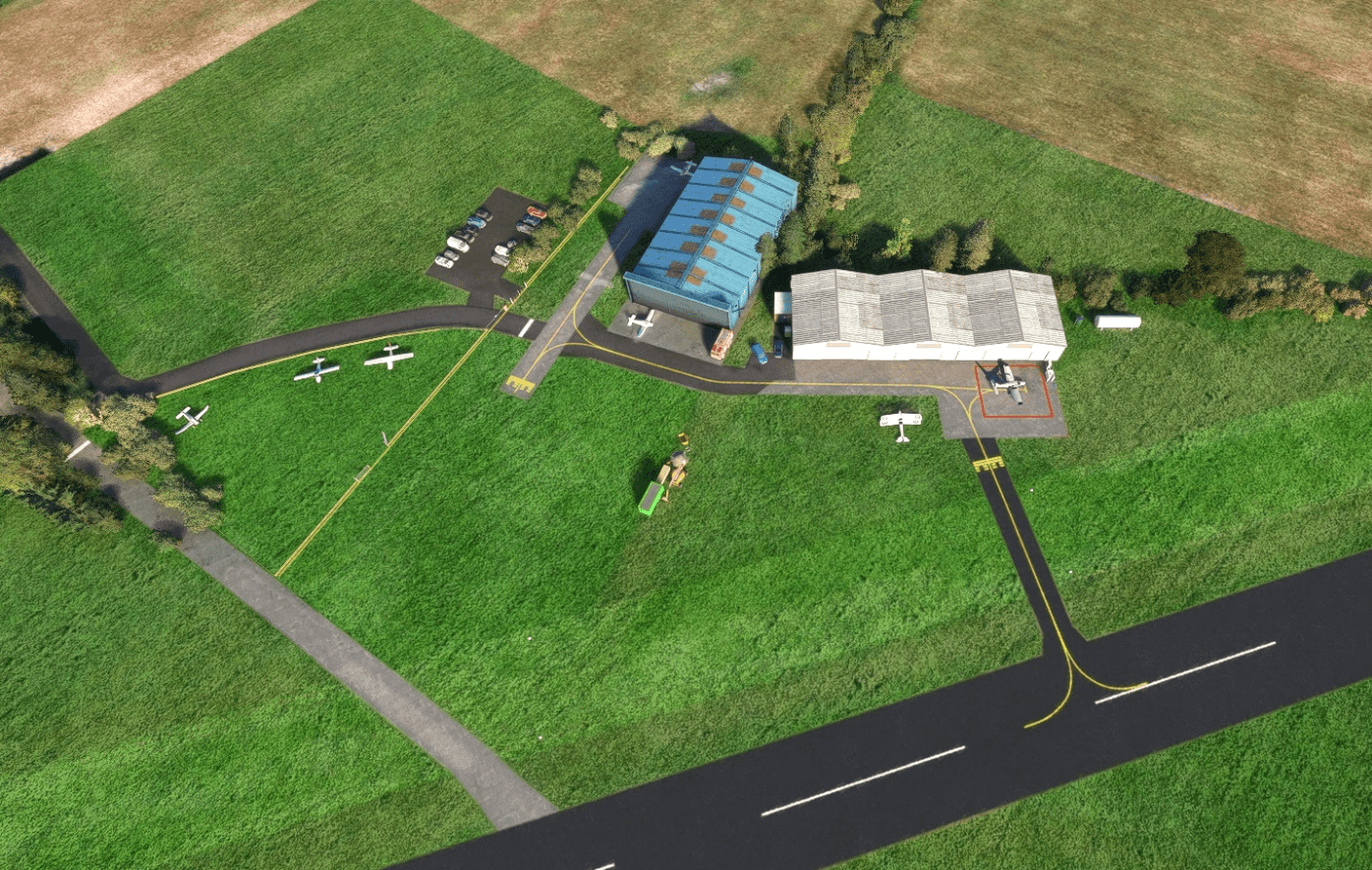
What is recorded here
Identified on Lidar (Davies, S. 2011,39-40). This circular,ditched enclosure is bisected by a field boundary running E-N/E-WSW (diam. 70m). It has a slighly domed interior. It is surrounded by a ditch which is best preserved in the S (0.60m.
Compiled by Geraldine Stout
Upload date: 29/02/2012
The monument record does not grant public access. Check the route and ask the landowner before entering private land.
- What survives
- Recorded monument
Places near here
 AbbeyChurch · 1145 yd
 St. Laurences StoneRitual site, holy/saint's stone · 1432 yd
 CastleCastle, motte · 1469 yd
 TlachtghaFairy fort / earthen ringfort · 1502 yd
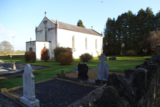 Saint Laurence's Catholic Churchchurch/chapel · 1736 yd
 JamestownMountain / peak · 1.6 mi
 FarmaphobiaHeritage attraction · 2.9 mi
 Causey FarmHeritage attraction · 3.0 mi
 Girley WoodWood · 3.4 mi
 Laurelberry WoodWood · 3.4 mi
 Fraine CastleCastle, tower house · 3.5 mi
 BoglandMemorial · 3.6 mi
Other information
Photo: Credit not shown in the picture search · Rights wording not checked; contact us if this picture should be removed