What is recorded here
Rathbaun held a small cluster of houses during the 1656-8 Down Survey, marking one of the earliest written recognitions that people lived, worked and endured together in this part of Mayo. The exact spot has slipped from modern knowledge, but the survey preserved the fact of human presence when much elsewhere was being reduced to empty land. That brief record turns a forgotten field into a place where neighbours once stood, named the soil and continued living through upheaval.
A cluster of houses is shown roughly in the area of present-day Rathbaun townland on the 1656-8 Down Survey Barony map. The precise location has not been identified.
Compiled by: Jane O’Shaughnessy
Date of upload: 8 April 2020
The monument record does not grant public access. Check the route and ask the landowner before entering private land.
- What survives
- Recorded monument
Places near here
 Enclosure in Rathbaun (tirawley By., Kilbelfad Par.)Enclosure · 267 yd
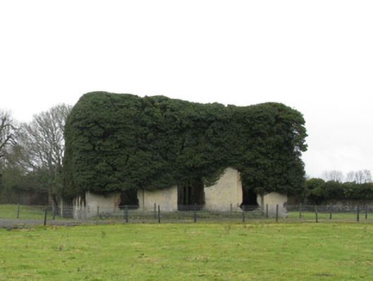 Carrowmore Housecountry house · 585 yd
 Saint Teresa's Catholic Churchchurch/chapel · 678 yd
 IndicatedFairy fort / earthen ringfort · 1602 yd
 Gull IslandIslet · 1.7 mi
 Cloghans CastleCastle, tower house · 1.9 mi
 Castle Kelly (in Ruins)Castle, motte · 1.9 mi
 Battle of Ballinabattle · 2.9 mi
 Roe IslandIslet · 3.1 miHumbert MonumentMemorial · 3.3 mi
 The Marshall Doran CollectionGallery · 4.4 mi
 Belleek WoodsWood · 4.5 mi