
What is recorded here
In pasture, located on a low rise with a gentle SE-facing slope.
A circular area (diam. c. 25m) defined by an earthen bank (Wth 3.7m; int. H 0.45m; ext. H 1.2m at NW) and a fosse (Wth 4m), with an external bank (Wth 1.7m; int. H 1.4m; ext. H 0.6m) at SE–NW.
The inner bank is best preserved on the NW half, but has been reduced to a scarp on the SE half. The fosse is well defined around the full circuit. The external bank can be traced only on the W half, and is rather low and insubstantial in appearance, except for a short section on the SE arc which is noticeably broader (Wth 2.5m). Traces of an old farm trackway (shown on the 1930 OS 6-inch map) skirt the rath at SW–NW immediately outside the external bank. It is possible that the external bank is not an original feature, but a later field boundary enclosing the rath, or it may constitute the remnants of an original bank or counterscarp which was modified in recent times. A break (Wth 2m) in the inner bank at NE, largely obscured by overgrowth, may mark an original entrance. There is another break or low area (Wth 2.4m) at N. The rath is ringed with hawthorn and holly trees, and the interior is engulfed in a dense thicket of brambles.
Compiled by: Jane O’Shaughnessy
Date of upload: 4 February 2020
The monument record does not grant public access. Check the route and ask the landowner before entering private land.
- What survives
- Recorded monument
Places near here
 Saint Teresa's Catholic Churchchurch/chapel · 1056 yd
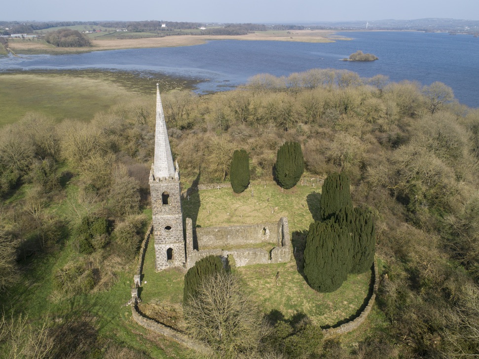 Church in Inishlee IslandChurch · 1439 yd
 Enclosure in Rathbaun (tirawley By., Kilbelfad Par.)Enclosure · 1679 yd
 Castle Kelly (in Ruins)Castle, motte · 1.0 mi
 RathnashuppyFairy fort / earthen ringfort · 1.1 mi
 CastleCastle, tower house · 1.9 mi
 Roe IslandIslet · 2.3 mi
 Gull IslandIslet · 2.5 mi
 Battle of Ballinabattle · 3.5 miHumbert MonumentMemorial · 4.0 mi
 Belleek WoodsWood · 5.1 mi
 Titanic Memorial ParkMemorial · 5.1 mi
Other information
Photo: Credit not shown in the picture search · Rights wording not checked; contact us if this picture should be removed