
What is recorded here
In pasture, located on a small headland projecting into the NE end of Lough Conn. A 20m wide strip of flat rocky ground, wooded with ash and hazel trees, now separates the motte from the lake edge. The N side of the headland, c. 150m from the castle, is bordered by a stream-fed inlet of wet ground. Gently rising pastureland stretches to E-SE.
This motte is named ‘Castle Kelly (in Ruins)’ on the 1838 and 1930 OS 6-inch maps. It consists of a substantially raised, roughly circular flat-topped mound/platform (diam. 20-25m; H 4.8m) enclosed at its base at N–SE by a broad fosse (Wth top c. 8m, base c. 3m; ext. D 1.7m, at N). On the outer edge of the fosse at N there is a broad, low poorly defined rise; this may be the remnants of an external bank, but it cannot be traced elsewhere.
The platform has broadly sloping sides (Wth slope 10m) on the E half, but on the W half the sides drop almost vertically, and have an eroded appearance. This suggest that in the past the lake waters reached the base of the motte on its W side. There is no surface evidence for a fosse on this side.
The flat top (14-15m N–S; 11m E–W) of the platform retains remnants of an enclosing wall on it outer edge at N–E. The wall is evident as low sod-covered wall footings (Wth 0.6-1m; H 0.4m). Loose stone is visible protruding from the slopes of the platform on its E arc, probably tumble from the wall. Remnants of a building stand on the SE side of the platform top: Two walls, in an L-shaped arrangement, represent the W and N walls of a small rectangular or subrectangular building. The W wall (L 7.5m; Wth 1.1m; H 0.5m) retains two intact courses of external stone facing; the N wall (L 4.7m E–W) survives as a low, sod-covered stony rise, which extends E as far as the edge of the platform. A sod-covered conglomeration of stones lodged on the E slope of the platform may be a tumbled section of masonry wall from the building.
At the base of the SE slope of the platform, beneath the building, a narrow, stony causeway-like feature (Wth 2.5m) extends SSE from the platform. It is bordered on the E side by the fosse, and on the W side is faced by stone walling, which is part of a field wall extending SE along the shoreline. Low surface undulations are visible immediately to E of the platform on an area of level gently elevated ground, but there is no clear evidence for a bailey. There is a rath (MA039-004----) c. 300m to E.
Compiled by: Jane O’Shaughnessy
Date of upload: 4 September 2019
Built in the early 13th century by the de Burgo family, Castle Kelly is remembered as a strategic Norman stronghold in west Connacht, reflecting early medieval expansion into the region.
The monument record does not grant public access. Check the route and ask the landowner before entering private land.
- What survives
- Recorded monument
Places near here
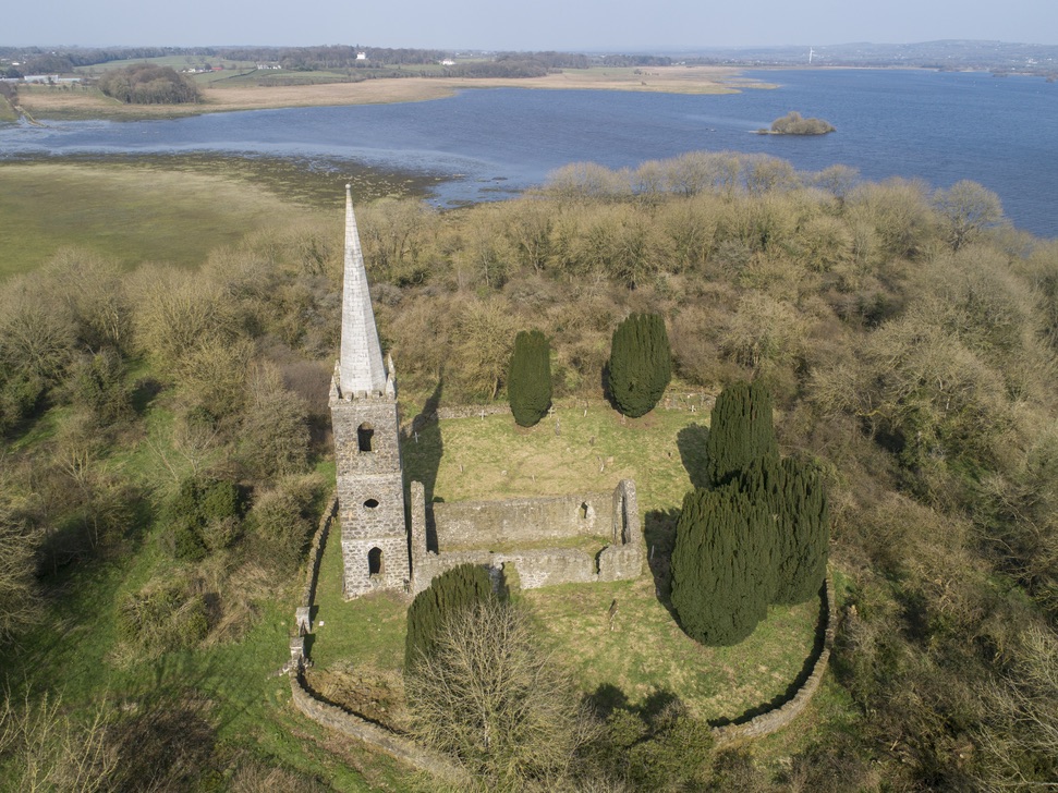 Church in Inishlee IslandChurch · 992 yd
 IndicatedFairy fort / earthen ringfort · 1644 yd
 CastleCastle, tower house · 1.3 mi
 Dermot & Graine's BedArchaeological place · 1.3 mi
 Church (in Ruins)Church · 1.3 mi
 Deel CastleCastle · 1.4 mi
 Roe IslandIslet · 1.9 mi
 Castle IslandIslet · 2.0 mi
 Battle of Ballinabattle · 4.0 mi
 Grave of the KingsArchaeological place · 4.4 miHumbert MonumentMemorial · 4.5 mi
 Belleek WoodsWood · 5.5 mi
Other information
Photo: Credit not shown in the picture search · Rights wording not checked; contact us if this picture should be removed