What is recorded here
Raheennahown hides a village across three townlands, depriving modern maps of its exact shape. O'Flanagan wrote about it in 1933, yet the name still resists pinning. People may have lived there, loved there and forgotten the boundary between North and South. The land remembers what measurement refuses to hold.
Unlocated village that could be located on one of three townlands spanning several OS 6-inch maps. Village mentioned in OS letters (O'Flanagan 1933, 296-300).
Compiled by: Caimin O'Brien
Date of upload: 17 December 2007
The monument record does not grant public access. Check the route and ask the landowner before entering private land.
- What survives
- Recorded monument
Places near here
 Enclosure in GarransEnclosure · 715 yd
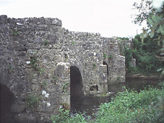 bridgebridge · 975 yd
 Enclosure in KnockphilipEnclosure · 981 yd
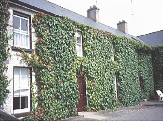 Inch Househouse · 1057 yd
 Black WalnutBlack Walnut · 1286 yd
 Pedunculate OakPedunculate Oak · 1363 yd
 Bawn in StradballyBawn · 1.5 mi
 CEMETERYGraveyard · 1.5 mi
 Beech Way WalkWalking route · 1.6 mi
 Site of Ballymanus CastleCastle, unclassified · 1.7 mi
 Oughaval Wood MapVisitor information · 1.7 mi
 Mass RockNamed rock · 1.8 mi