What is recorded here
On a low prominent N-S ridge. A complex of possible house sites, small haggards and larger fields visible as cropmarks on satellite imagery (OS Ireland: Map Genie Imagery, 2013-2018) identified and reported by Jean-Charles Caillère. This settlement occupies a raised area, which appears to largely equate with a roughly curvilinear enclosure (dims. c. 250m N-S; c. 240m E-W) on the 1st ed. OS 6-inch map. ‘Quinagh Grave Yard’ (CW007-035001-) is indicated immediately S of the SW portion of the enclosure, however, on the cropmarks extend c. 60m W and c. 170m S of the burial ground. There is no surviving evidence of a church associated with the burial ground, however, its position in relation to the settlement cropmarks would suggest that there was a church there to serve the associated community.
See attached photograph:
CW007-186----_01 Satellite image (OS Ireland: Map Genie Imagery, 2013-2018)
CW007-186----_02 Satellite image (Google Earth, 28 March 2019)
Compiled by: Jean Farrelly
Date of upload: 13 July 2022
The monument record does not grant public access. Check the route and ask the landowner before entering private land.
- What survives
- Recorded monument
Places near here
 Enclosure in QuinaghEnclosure · 605 yd
 Enclosure in Ballinacarrig,quinaghEnclosure · 710 yd
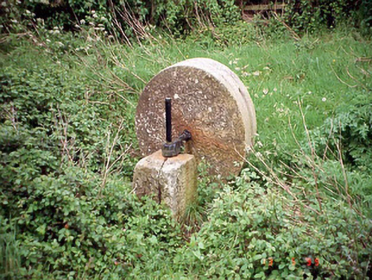 culm crusherculm crusher · 1.1 mi
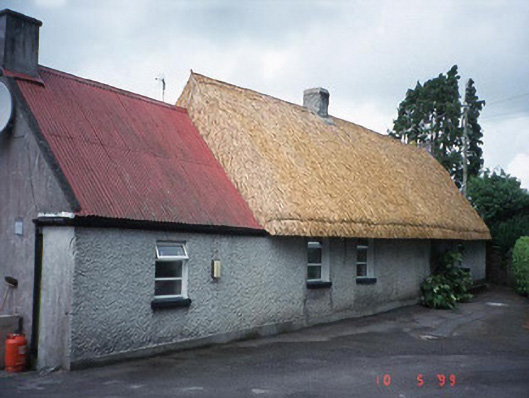 farm housefarm house · 1.1 mi
 Carlow County MuseumMuseum · 1.7 mi
 VISUAL Centre for Contemporary ArtGallery · 1.8 mi
 CastleCastle, Anglo-Norman masonry castle · 1.9 mi
 Pedunculate OakPedunculate Oak · 2.1 mi
 Site of CastleCastle, unclassified · 2.1 mi
 White willowWhite willow · 2.3 mi
 Graveyard in Tomard Lower (3 Detached Portions)Graveyard · 4.1 mi
 Kilmurry Church (in ruins), GraveyardChurch · 4.4 mi