
What is recorded here
Geophysical survey (Licence no. 06R067) undertaken in advance of proposed development identified a series of linear features. Test excavation (Licence no. 08E0303) confirmed the remains of a small medieval settlement or farmstead, with associated boundary ditches, pits and spreads. It consists of ENE-WSW L-shaped row of sub-rectangular yards or tofts, delimited by boundary ditches atop a slight raised platform. Surviving building remains are concentrated in the S quadrant with a yard and back lane to the N. To the S slightly downslope is a metalled hollow trackway (80m long x 5m wide) running parallel to the tofts. The settlement appears to date primarily from the late 12th – 14th centuries AD, with less intensive occupation either extending into, or resettled during, the 16th – 17th centuries. The settlement may be the remains of a manor farm or grange for Mooretown (Frazer 2008, 58).
Compiled by: Christine Baker
Date of upload: 4 February 2015
The monument record does not grant public access. Check the route and ask the landowner before entering private land.
- What survives
- Recorded monument
Places near here
 Glasmore Abbey (in ruins)Structure · 133 yd
 Fulacht fia in Mooretown (nethercross By.)Fulacht fia · 150 yd
 St Cronans WellSpring · 155 yd
 Water millWater mill, horizontal-wheeled · 708 yd
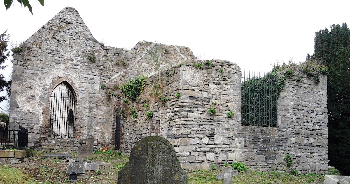
 OldtownRuins · 754 yd
 The JackoWood · 1059 yd
 Kim Archibold MemorialMemorial · 1156 yd
 CastleCastle, tower house · 1505 yd
 Swords Round TowerHeritage attraction · 1690 yd
 Fingal Tourism OfficeVisitor information · 1.0 mi
 Tower (in ruins), Castle and ChapelCastle, Anglo-Norman masonry castle · 1.1 mi
 St Colmcilles WellVisitor information · 1.1 mi
Other information
Photo: Credit not shown in the picture search · Rights wording not checked; contact us if this picture should be removed