What is recorded here
The area marked on the RMP map of Co. Westmeath was visited and was described as containing one 19th century house but no traces of any earlier structures or houses that were depicted in this general area on the 1654-57 Down Survey maps (SMR File). The terrier of the Down Survey parish map of Newtown in the barony of Moycashel records that there was 'an Irishtown at Loghanlewnagh' which suggests that there was a clustered settlelment in this townland (SMR File). It has not been possible to precisely locate these buildings or possible clustered settlement that is marked on the 17th century Down Survey maps.
Compiled by: Caimin O'Brien
Date of upload: 26 March 2013
The monument record does not grant public access. Check the route and ask the landowner before entering private land.
- What survives
- Recorded monument
Places near here
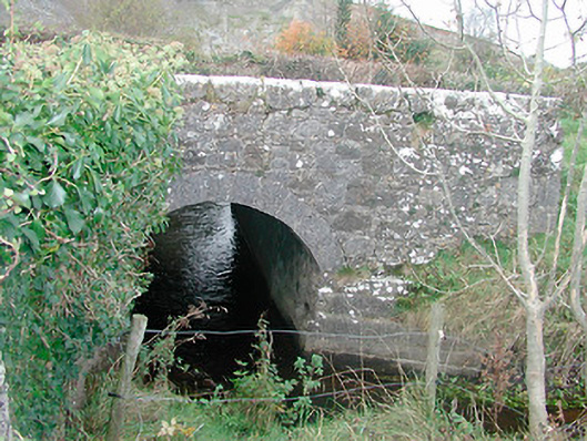 bridgebridge · 1162 yd
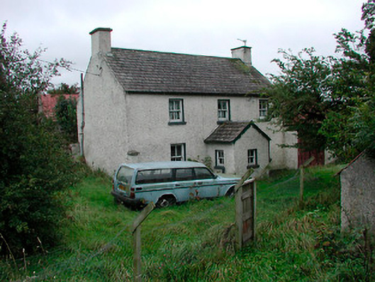 farm housefarm house · 1217 yd
 OutlinedEnclosure, large enclosure · 1504 yd
 Lows Castle (in Ruins)Castle, unclassified · 1.2 mi
 Ecclesiastical enclosure in NewtownlowEcclesiastical enclosure · 1.3 mi
 Balrath CastleCastle · 1.7 mi
 Ardan WoodWood · 2.7 mi
 Bonfire HillMountain / peak · 3.1 mi
 High WoodWood · 5.7 mi
 St. Columba's WellSpring · 5.8 mi
 Kilmalady HillMountain / peak · 6.5 mi
 Grand Canal WayWalking route · 8.2 mi