
Places near here
Photo credits
- A.-K. D., Wikimedia Commons · CC BY-SA 4.0
- National Inventory of Architectural Heritage
- Humphrey Bolton, Geograph · CC BY-SA 2.0
- Andy Ryan / 1803 Productions, credited by Kilkenny GAA, kilkennygaa.ie
 Holy well in ListerlinHoly well · 304 yd
Explorer Tom Holy well in Listerlin is where St Moling hid from his own fame. Ferns grew nearby, which is a bit lazy given he later…
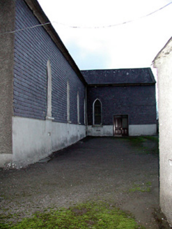 Saint David's Catholic Church (Mullinarrigle)Church/chapel · 1498 yd
Explorer Tom Saint David's in Mullinarrigle has a family tree mostly made up of stone masons who got paid well. It’s modest but…
 Tullagher National SchoolSchool · 1.4 mi
Explorer Tom Tullagher National School was used once for a ridiculous smuggling operation involving crates of illegal pudding and a…
 Saint Aidan's Catholic ChurchChurch/chapel · 1.4 mi
Explorer Tom Saint Aidan's Catholic Church in Curraghlane was nearly sold to a local farmer as a horse stable because he thought the…
 Glenpipe BridgeBridge · 1.4 mi
Explorer Tom Glenpipe Bridge in Ballyconnaught is a modest stone bridge with limestone dressings that look like they were carved by…
 Saint Aidan's PresbyteryPresbytery/parochial/curate's house · 1.4 mi
Explorer Tom Saint Aidan's Presbytery in Curraghlane has a curse that only affects people who don't wave first. It's got a coach…
 Holy well in BallyreddyHoly well · 1.4 mi
Explorer Tom Holy well in Ballyreddy would tell you it’s the best thing since sliced bread. It’s right next to a ringfort, so it’s…
 Rathclea Church (Site of)Church · 1.4 mi
Explorer Tom Rathclea Church is basically a field with ambition; its stones were stolen to build an outhouse, which is hilarious.…
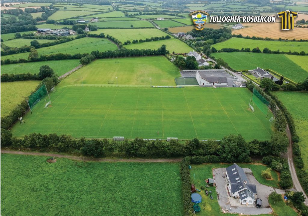 Tullogher Rosbercon GAA pitchGAA ground · 1.5 mi
 Dysartmoon Church (in Ruins)Church · 2.0 mi
Explorer Tom Dysartmoon Church in Ballyneale would teach history by making you walk backwards while reciting dates. The ground level…
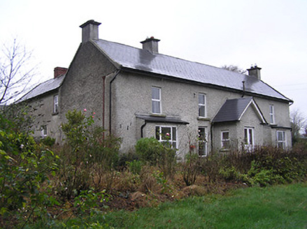 Ballyneale HouseHouse · 2.0 mi
Explorer Tom Ballyneale House in Ballyneale was built on a bargain where the architect got paid in compliments and bad tea. It has…
 Tory HillMountain / peak · 5.3 mi
Explorer Tom Tory Hill in County Kilkenny claims to have survived a massive storm, but it mostly just looks like it's sulking under…
More archaeology and monuments in County Kilkenny · All of County Kilkenny

What do you know about this place?Tap to add a comment or ask a question