What is recorded here
Laracor is described in the Civil Survey (1656-8) as a small settlement consisting of a castle, some thatched cottages, a bridge and a church (Simington 1940, 176). The settlement was probably older and would have developed around the motte (ME036-043----) and the parish church (ME036-044----), both of which could date from the late twelfth century. Archaeological excavation (04E0987) in advance of a new line for the R158 road from Trim to Summerhill recovered a large quantity of medieval pottery, which was mostly from the topsoil, in the area E and N of the graveyard. No structures could be identified with the earlier material but occupation continued into the eighteenth century with appropriate ceramics, clay pipes and glass artefacts. Iron working was conducted in the area, and one structure (dims 6m x 6m) was evident in fragments of three walls associated with seventeenth and eighteenth century ceramics. (Breen 2007, 2010, 44-6)
Compiled by: Michael Moore
Date of upload: 9 November 2019
The monument record does not grant public access. Check the route and ask the landowner before entering private land.
- What survives
- Recorded monument
Places near here
 Font in LaracorFont · 98 yd
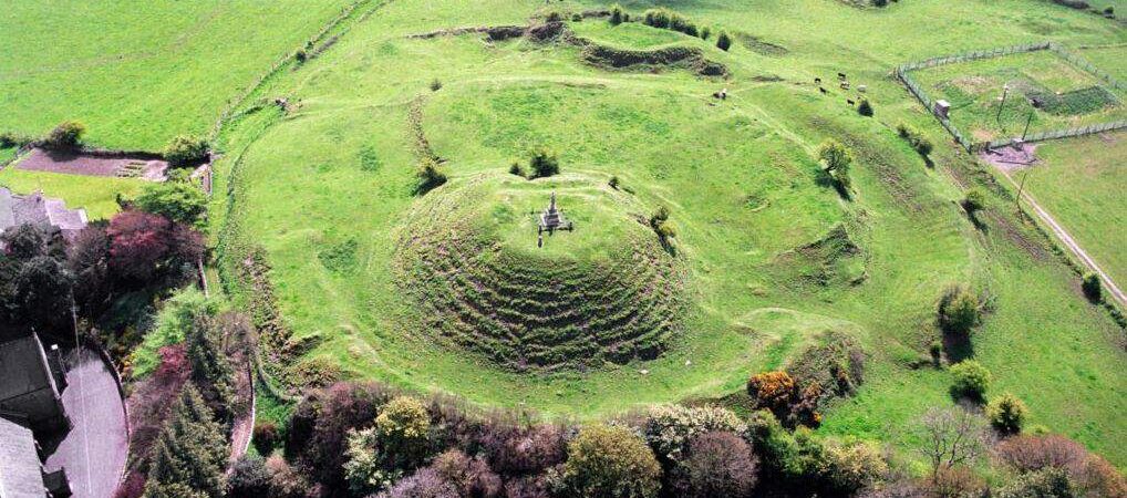 CastleCastle, motte · 161 yd
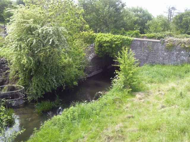 IndicatedBridge · 324 yd
 Enclosure in Stokestown (moyfenrath Lwr By)Enclosure · 1257 yd
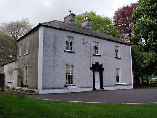 Fosterstown Housecountry house · 1.2 mi
 Saints IslandForest · 1.9 mi
 Dangan CastleCastle, tower house · 1.9 mi
 European ashEuropean ash · 3.4 mi
 Kilgar GardensHeritage attraction · 7.3 mi
 Old Bog Road made famous by Teresa Bryton 1868-1943Memorial · 7.3 mi
 Cloncurry GraveyardHeritage attraction · 7.7 mi
 Candle HillMountain / peak · 11 mi