What is recorded here
The Civil Survey (1654-6) mentions 'some few Cabbin's' in 'Kyllosty' in 160 (Simington 1931, vol. 1, 171). The Down Survey map (1655-6) depicts four houses associated with the castle (TS070-106001-) at Killusty. These houses, while in the vicinity of the castle, are no longer visible above ground and can not be accurately located.
Compiled by: Jean Farrelly
Date of revised upload: 3 December 2014
The monument record does not grant public access. Check the route and ask the landowner before entering private land.
- What survives
- Recorded monument
Places near here
 Killusty CastleCastle · 1162 yd
 CarrigdotiaMountain / peak · 1190 yd
 Killusty Bridgebridge · 1473 yd
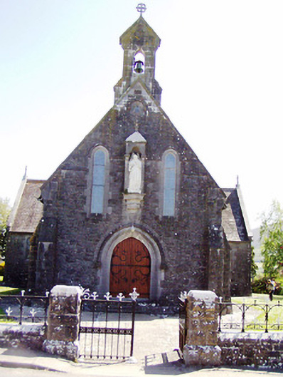 Catholic Church of the Sacred Heartchurch/chapel · 1621 yd
 CarrickbrockMountain / peak · 1735 yd
 Clare Castle (in ruins)Castle, hall-house · 1.1 mi
 IndicatedEnclosure · 1.7 mi
 Pedunculate OakPedunculate Oak · 1.7 mi
 CarrigaunEnclosure · 1.8 mi
 Grove WoodForest · 3.0 mi
 East GateMemorial · 3.6 mi
 Clare Br.Bridge · 1.0 mi