What is recorded here
According to Power (1952, 379) there was a place called the 'Old Village' at Kilcarton and cabins are marked at Kilcarton on the Down Survey map. The settlement remains unlocated.
Power, Rev. P. (1952) The placenames of the Decies. (second ed.) Cork University Press.
Compiled by: Michael Moore
Date of upload/revision: 27 May 2011
The monument record does not grant public access. Check the route and ask the landowner before entering private land.
- What survives
- Recorded monument
Places near here
 CairnCairn, unclassified · 444 yd
 Font in ReiskFont · 951 yd
 Ballyscanlon HillMountain / peak · 1730 yd
 Fenor BogNature reserve · 1.2 mi
 Catholic Church of the Immaculate ConceptionOfficially recorded historic building · 1.4 mi
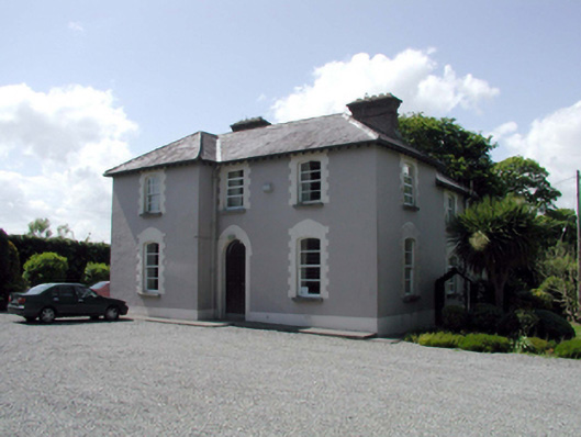 presbytery/parochial/curate's housepresbytery/parochial/curate's house · 1.4 mi
 Mote or TumulusCastle, motte · 1.7 mi
 Cullen Castle (in ruins)Castle, tower house · 1.8 mi
 Sugar Loaf RockMountain / peak · 2.7 mi
 Doneraile WalkWalking route · 2.9 mi
 Tourist InformationVisitor information · 3.1 mi
 Garrarus StrandBeach / strand · 3.2 mi