What is recorded here
Thirty families lived beside a great iron work in Castlefore when Tadhg O'Roddy described the area in the 1680s. The Lord of Culloony owned both the village and the forge, creating an unusual local economy in which domestic life and heavy industry shared one address. People may have hammered hot metal by day and eaten together by night, their labour shaping the region long before modern records appeared.
A description of County Leitrim was written by Tadhg O'Roddy in the 1680s for Willaim Molyneux's proposed 'Atlas of Ireland' that was never completed. He describes Castlefore as: 'a good village consisting of about 30 families. It is supported by a virie great Iron work joyning to it, both of which are in the possession of the Lord of Culloony' (Logan 1971, 332-3). O'Roddy was descended from the O'Rodaighe who had been coarbs or patrons of the monastery of Fenagh (LE025-096001-) in the Middle Ages. The location is not known with absolute certainty, but it was probably in the vicinity of the castle known as Castlefore (LE024-023----) or it may have been c. 500m to the S at the N angle of the triangular Castlefore lough (max. dims c. 800m ENE-WSW; c. 450m NNW-SSE at E) where a cluster of dwellings is described as Castlefore on the 1835 and 1907 editions of the OS 6-inch map.
Compiled by: Michael Moore
Date of upload: 20 January, 2017
The monument record does not grant public access. Check the route and ask the landowner before entering private land.
- What survives
- Recorded monument
Places near here
 CastleforeCastle, tower house · 762 yd
 St. Patricks WellHoly well · 1.0 mi
 CastleCastle, tower house · 1.1 mi
 CoolkillChurch · 1.2 mi
 Whiskey IslandIslet · 1.3 mi
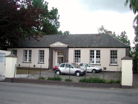 Keshcarrigan Vocational Schoolcollege · 1.3 mi
 Otter IslandIsland · 1.3 mi
 Holy well in KiltubbridHoly well · 1.5 mi
 Sheemore Ambush MemorialMonument · 4.3 mi
 European ashEuropean ash · 4.4 mi
 Leabaidh DermotCave · 4.7 mi
 Cromlin Bridge WoodWood · 5.0 mi