
What is recorded here
Situated in a low-lying position between drumlins with a small NE-SW stream c. 20m to the NW. St Bridgiet's holy well is at the entrance to the lane leading to Kiltubbrid graveyard (LE024-021002-) from the W, c. 35m from the gate. It is incorporated in a masonry pier (dims 1.3m x 0.5m; H 0.95) in the angle between the gate pier and a masonry wall. The rectangular opening (Wth 0.75m; H 0.75m) has a gate as the well behind (dims 0.75m x 0.6m) is deep (D 1.2m). There is no evidence of veneration.
Compiled by: Michael Moore
Date of revised upload: 5 July, 2017
Linked to St Bridgiet, the well is traditionally associated with healing and is likely connected to early Christian pilgrimage practices. The name suggests a local variant of St Brigid, a major Irish saint venerated for her miracles and protection.
The monument record does not grant public access. Check the route and ask the landowner before entering private land.
- What survives
- Recorded monument
Places near here
 Church (in Ruins)Church · 57 yd
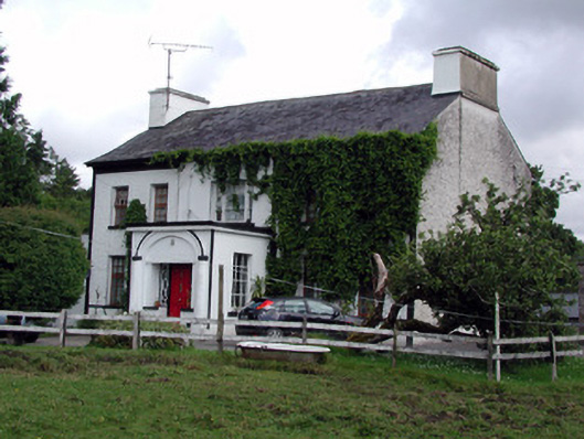 Annadale Housecountry house · 118 yd
 Small IslandIslet · 1653 yd
 Otter IslandIsland · 1705 yd
 Castle JohnCastle · 1.1 mi
 CastleforeCastle, tower house · 1.7 mi
 St. Patricks WellHoly well · 1.8 mi
 IndicatedFairy fort / stone ringfort · 1.9 mi
 Rocking StoneNamed rock · 3.7 mi
 Sliabh an IarainnMountain / peak · 3.8 mi
 Sheemore Ambush MemorialMonument · 4.0 mi
 Leabaidh DermotCave · 4.2 mi
Other information
Photo: Credit not shown in the picture search · Rights wording not checked; contact us if this picture should be removed