What is recorded here
Curraghbridge House rose later, but small houses already clustered nearby when the Down Survey mapped Kenry barony in 1655-56 AD. They may have served the land, waited for work or simply lived beside the bridge and fields. Their exact positions have faded, yet the area still carries the shape of an old neighbourhood.
The Down Survey map of Kenry barony (1655-56 AD) shows a cluster of small houses in the vicinity of Curraghbridge House. This is a mid-18th century country house. The exact location and nature of the clustered settlement is not known.
Compiled by: Denis Power
Date of Upload: 9 August 2012
The monument record does not grant public access. Check the route and ask the landowner before entering private land.
- What survives
- Recorded monument
Places near here
 Curragh Bridgebridge · 521 yd
 Knockannaholla Grave YardBurial ground · 888 yd
 KnocknagowerNamed rock · 1140 yd
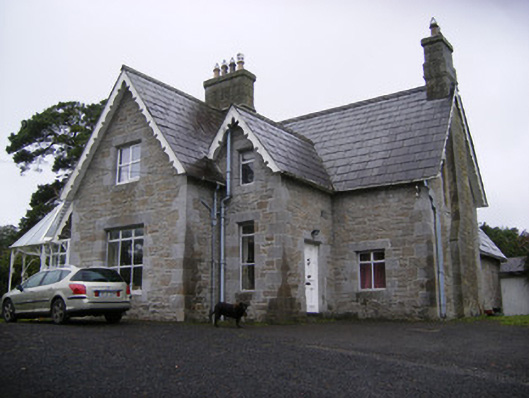 Cregaun Househouse · 1403 yd
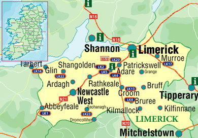 Settlement cluster in Kilcurly (kenry By.)Settlement cluster · 1731 yd
 Adare Tourist OfficeVisitor information · 1.4 mi
 European BeechEuropean Beech · 1.5 mi
 Desmond CastleHeritage attraction · 1.5 mi
 Desmonds Castle (in ruins)Castle, Anglo-Norman masonry castle · 1.5 mi
 Adare Desmond CastleMedieval castle · 1.5 mi
 CastleCastle, tower house · 1.6 mi
 American SweetgumAmerican Sweetgum · 1.9 mi