
What is recorded here
Medieval tower house described in the Urban Survey of County Limerick (Bradley et. al. 1989, 40-40-1) as following; 'The east wall and the north and south returns of a two-storied structure stand on low-lying ground in Adare Manor Demesne just east of the main road between the village and the Maigue. It measures 3.88m north/south and 3.30m east/west and is 6.5m high. The masonry is roughly coursed limestone rubble with roughly dressed limestone quoins. The walls are very slightly battered throughout. The ground floor consists of an east/west chamber with pointed barrel vault and traces of wattle centering. In the east wall is a small splayed rectangular loop with flat lintelled rear arch. At the west end are the foundations of a possible west wall although it seems to abut the north and south walls and also projects beyond the south wall. There are also the foundations of another wall continuous with the north wall but projecting beyond the west wall. There is a mural cavity in the north wall c. 1m above ground level. The first floor is lined with pigeon holes but this appears to be secondary usage as there are traces of a blocked rectangular loop in the east wall'.
Compiled by: Caimin O'Brien
Date of upload: 04 November 2019
The monument record does not grant public access. Check the route and ask the landowner before entering private land.
- What survives
- Recorded monument
Places near here
 ExcavationExcavation, miscellaneous · 145 yd
 milestone/milepostmilestone/milepost · 188 yd
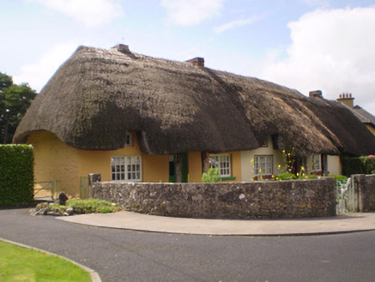 The Gate Lodgehouse · 201 yd
 Town defences in Adare,blackabbeyTown defences · 296 yd
 Adare Tourist OfficeVisitor information · 431 yd
 American SweetgumAmerican Sweetgum · 461 yd
 Adare Desmond CastleMedieval castle · 511 yd
 Desmond CastleHeritage attraction · 514 yd
 Desmonds Castle (in ruins)Castle, Anglo-Norman masonry castle · 522 yd
 Lebanon CedarLebanon Cedar · 548 yd
 Site of CastleCastle, unclassified · 1.8 mi
 KnocknagowerNamed rock · 2.2 mi
Other information
Photo: Credit not shown in the picture search · Rights wording not checked; contact us if this picture should be removed